Transport Functions
Multimodal
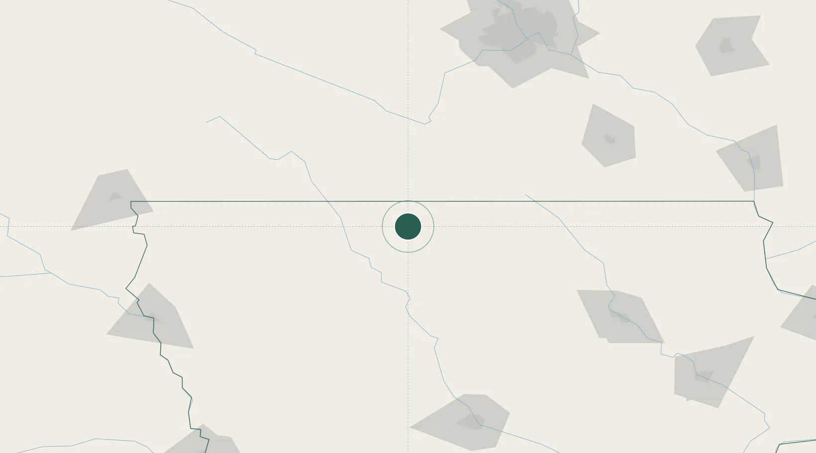
Hub Profile
Place type
Populated place
Region
Iowa
Population
710
Time zone
America/Chicago
Elevation
360 m
Location
Nearby Logistics Neighbours
Cities
- 1Armstrong23 km
- 2Blue Earth40 km
- 3West Bend41 km
- 4Emmetsburg42 km
- 5Kanawha53 km
Ports
- 1Superior419 km
- 2Duluth422 km
- 3Ashland453 km
- 4Washburn459 km
- 5Two Harbors461 km
Airports
Trade Zones
- 1FTZ No. 288 Northwest Iowa151 km
- 2FTZ No. 107 Polk County184 km
- 3FTZ No. 119 Minneapolis-St. Paul203 km
- 4FTZ No. 220 Sioux Falls210 km
- 5FTZ No. 175 Cedar Rapids246 km
DatabookThe Record of Consolidated Knowledge
United States beyond logistics?