Transport Functions
Road
Multimodal
Hub Profile
Place type
Populated place
Region
Minnesota
Population
1,069
Time zone
America/Chicago
Elevation
338 m
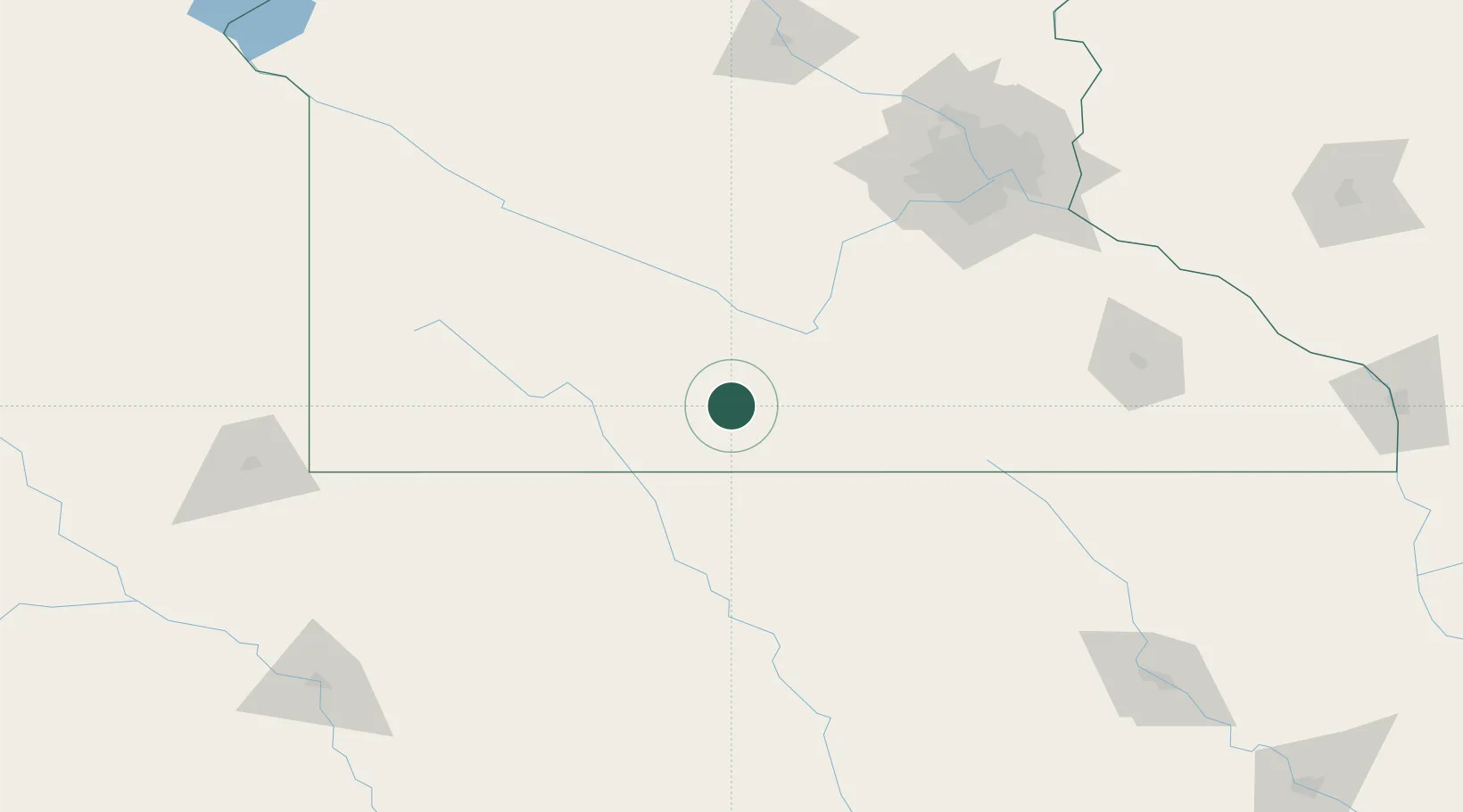
Location
Nearby Logistics Neighbours
Cities
- 1Winnebago, Faribault21 km
- 2Saint James25 km
- 3Garden City32 km
- 4Blue Earth34 km
- 5Mapleton40 km
Ports
- 1Superior373 km
- 2Duluth375 km
- 3Two Harbors417 km
- 4Ashland417 km
- 5Washburn421 km
Airports
Trade Zones
- 1FTZ No. 288 Northwest Iowa151 km
- 2FTZ No. 119 Minneapolis-St. Paul160 km
- 3FTZ No. 220 Sioux Falls192 km
- 4FTZ No. 107 Polk County246 km
- 5FTZ No. 175 Cedar Rapids297 km
DatabookThe Record of Consolidated Knowledge
United States beyond logistics?