Medium airport · United States

Redwood Falls Municipal AirportKRWF
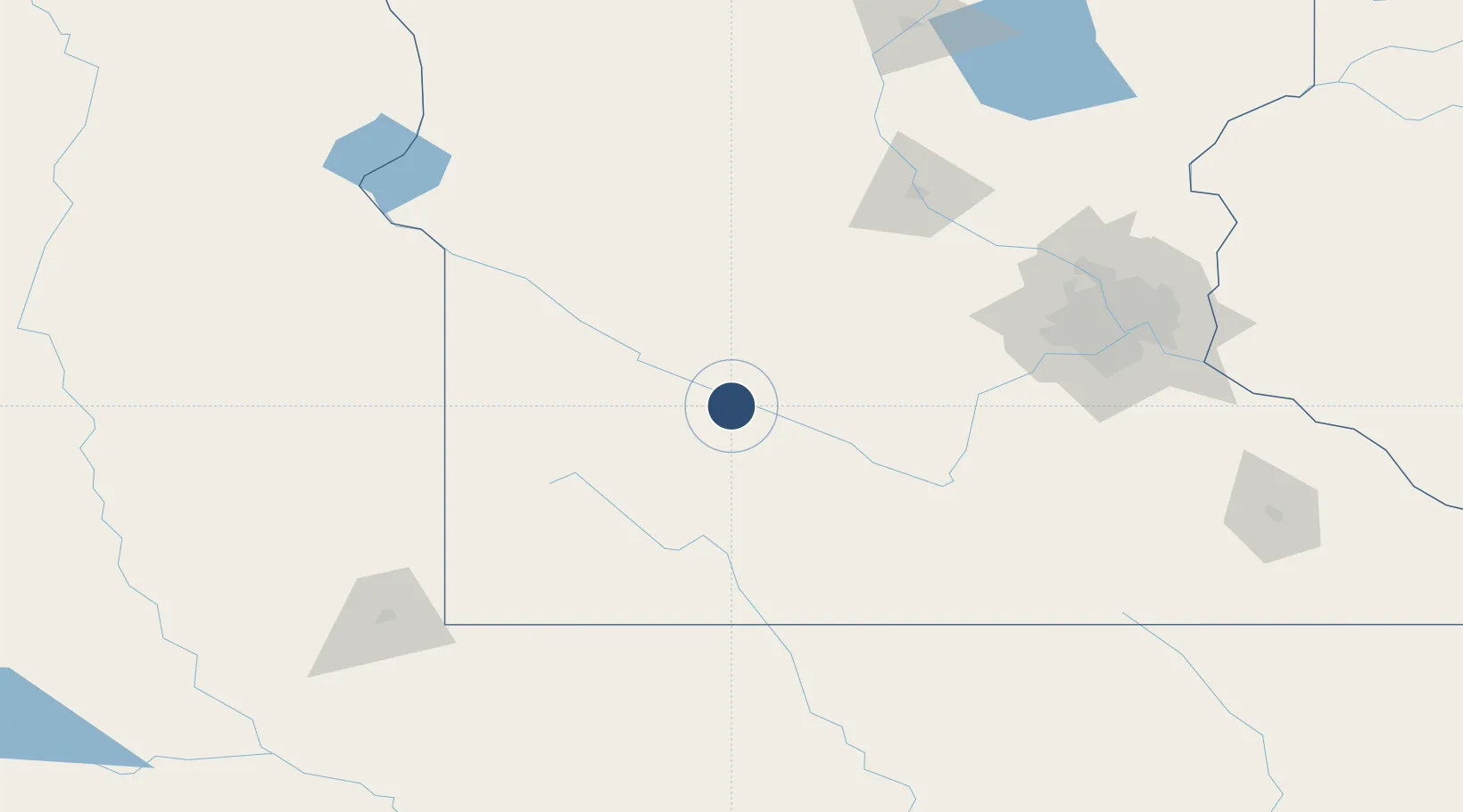
44.5472°, -95.0823°
4,001 ft
Longest runway
2
Runways
1,024 ft
Elevation

Runway & Layout

Redwood Falls Municipal Airport runway & taxiway layout
Runway & taxiway layout — OpenStreetMap (ODbL) / OurAirports

Radio Frequencies

ASOS
126.575 MHz
CNTR
127.1 MHz
MINNEAPOLIS CNTR
RDO
122.4 MHz
PRINCETON RDO
UNIC
123 MHz
CTAF/UNICOM
OurAirports

Runways · 2

RunwayDimensions SurfaceTrue headingLit
12/30 4,001 × 100ft Asphalt 128°
05/23 2,081 × 200ft Grass 056°
OurAirports

Airport Specifications

IATA code
RWF
OurAirports
ICAO code
KRWF
OurAirports
Airport class
Medium airport
OurAirports
Scheduled service
No
OurAirports
Runway surface
Asphalt
OurAirports
Served city
Redwood Falls
OurAirports

Location

Location of KRWF
Natural Earth 10m (public domain) · Minnesota · KRWF · 44.55, -95.08GoogleOSMYandex

Nearby Logistics Neighbours

Airports
  1. 1Hutchinson Health Heliport67 km
  2. 2Saint Cloud Regional Airport137 km
  3. 3Chandler Field149 km
  4. 4Minneapolis–Saint Paul International Airport / Wold–Chamberlain Field152 km
  5. 5Saint Paul Downtown Holman Field165 km
Nearest neighbours — logibook spatial index (haversine) over the source coordinates
Cities
  1. 1Morton8 km
  2. 2Renville28 km
  3. 3Fairfax29 km
  4. 4Springfield36 km
  5. 5Sleepy Eye39 km
Nearest neighbours — logibook spatial index (haversine) over the source coordinates
Ports
  1. 1Superior338 km
  2. 2Duluth339 km
  3. 3Two Harbors382 km
  4. 4Ashland400 km
  5. 5Washburn403 km
Nearest neighbours — logibook spatial index (haversine) over the source coordinates
Trade Zones
  1. 1FTZ No. 119 Minneapolis-St. Paul153 km
  2. 2FTZ No. 288 Northwest Iowa173 km
  3. 3FTZ No. 220 Sioux Falls176 km
  4. 4FTZ No. 267 Fargo295 km
  5. 5FTZ No. 051 Duluth331 km
Nearest neighbours — logibook spatial index (haversine) over the source coordinates
DatabookThe Record of Consolidated Knowledge
United States beyond logistics?
Browse databook

All Sources

AirportsOurAirports
Public domain
Portsthe NGA World Port Index
Public domain (US gov)
LocationsUN/LOCODE
UN/LOCODE — free
Trade Zonesthe World Bank SEZ database
CC BY 4.0
Trade ZonesOpen Zone Map
CC BY
InfrastructureOpenStreetMap
ODbL 1.0
← United States airports