Transport Functions
Road
Multimodal
Hub Profile
Place type
Populated place
Region
California
Time zone
America/Los_Angeles
Elevation
537 m
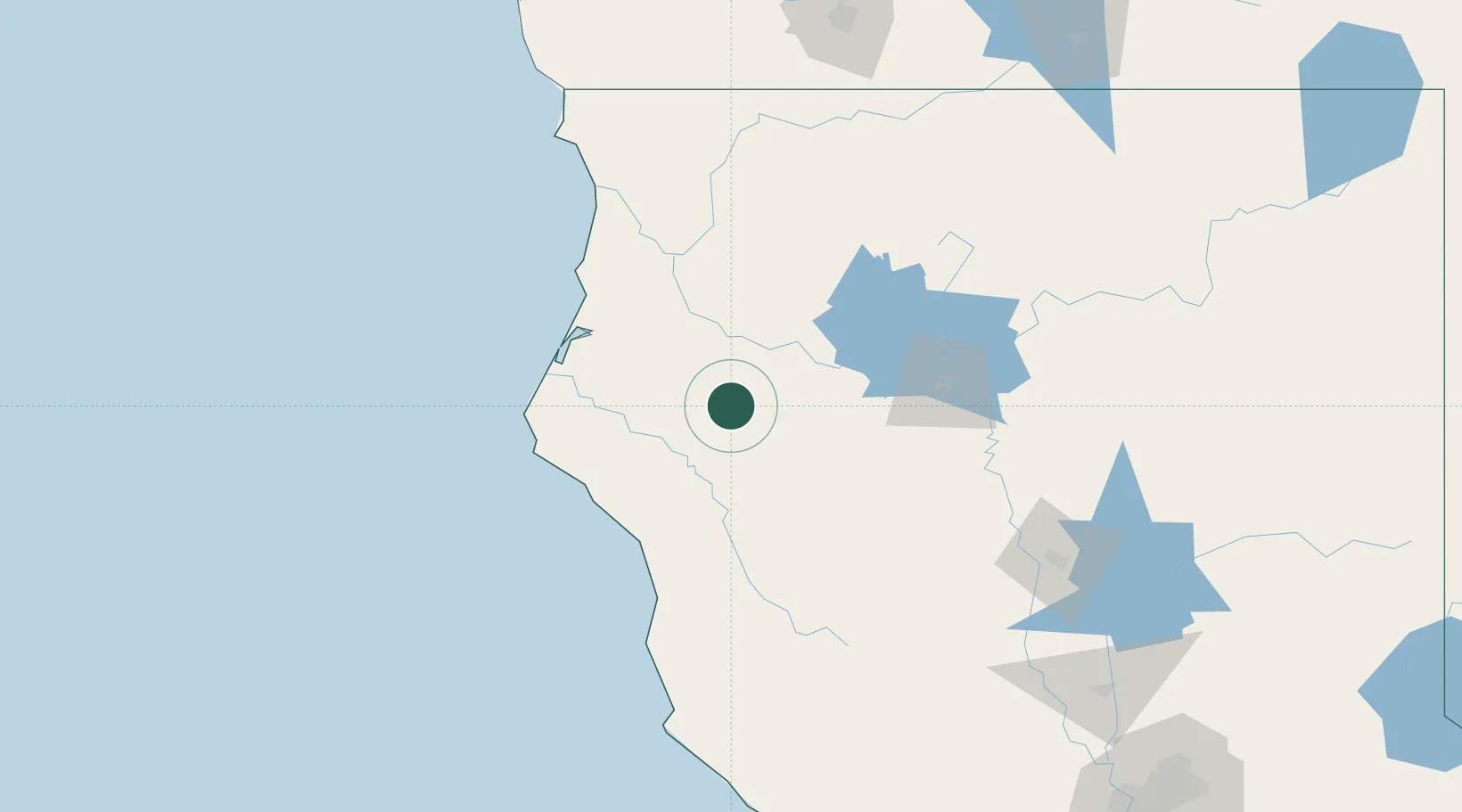
Location
Nearby Logistics Neighbours
Cities
- 1Indianola71 km
- 2Samoa74 km
- 3McKinleyville78 km
- 4Laytonville89 km
- 5Lakeshore98 km
Ports
- 1Fields Landing72 km
- 2Eureka74 km
- 3Samoa75 km
- 4Fort Bragg120 km
- 5Crescent City155 km
Airports
Trade Zones
- 1FTZ No. 248 Eureka72 km
- 2FTZ No. 143 West Sacramento267 km
- 3FTZ No. 003 San Francisco311 km
- 4FTZ No. 056 Oakland314 km
- 5FTZ No. 126 Sparks325 km
DatabookThe Record of Consolidated Knowledge
United States beyond logistics?