Medium airport · United States
Pine Bluff Regional Airport, Grider FieldKPBF
34.1741°, -91.9356°
5,998 ft
Longest runway
1
Runways
206 ft
Elevation
Runway & Layout

Radio Frequencies
ASOS
120.775 MHz
CLD
119.85 MHz
LITTLE ROCK CLNC DEL
A/D
119.85 MHz
LITTLE ROCK APP/DEP
RDO
122.6 MHz
JONESBORO RDO
UNIC
123 MHz
CTAF/UNICOM
Runways · 1
| Runway | Dimensions | Surface | True heading | Lit |
|---|---|---|---|---|
| 18/36 | 5,998 × 150ft | Asphalt | 180° | ✓ |
Airport Specifications
IATA code
PBF
ICAO code
KPBF
Airport class
Medium airport
Scheduled service
No
Runway surface
Asphalt
Served city
Pine Bluff
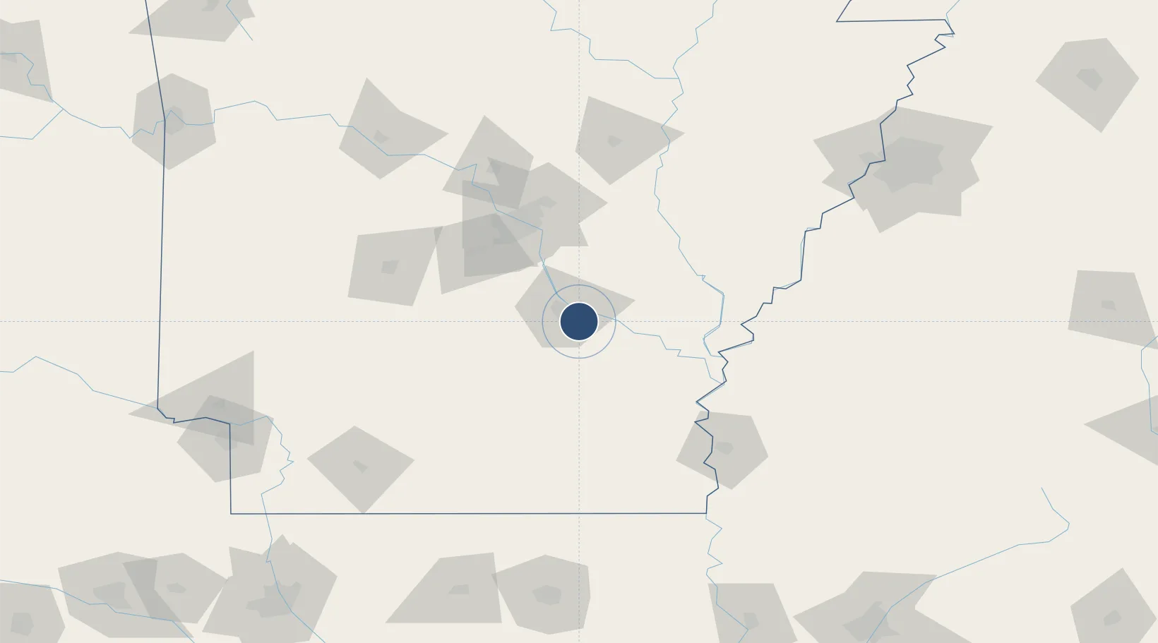
Location
Nearby Logistics Neighbours
Airports
Ports
- 1Port Of Memphis190 km
- 2Baton Rouge420 km
- 3Madisonville452 km
- 4Lake Charles457 km
- 5Convent474 km
Trade Zones
- 1FTZ No. 014 Little Rock64 km
- 2FTZ No. 287 Tunica County128 km
- 3FTZ No. 077 Memphis187 km
- 4FTZ No. 273 West Memphis193 km
- 5FTZ No. 262 Southaven194 km
DatabookThe Record of Consolidated Knowledge
United States beyond logistics?