Transport Functions
Port
Hub Profile
Region
AR
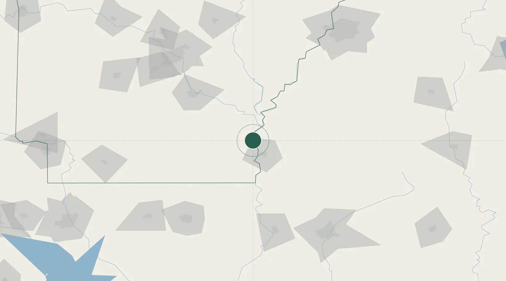
Location
Nearby Logistics Neighbours
Cities
- 1Scott13 km
- 2Lamont13 km
- 3McGehee17 km
- 4Greenville23 km
- 5Tillar26 km
Ports
- 1Port Of Memphis189 km
- 2Baton Rouge350 km
- 3Madisonville369 km
- 4Slidell394 km
- 5Reserve400 km
Airports
Trade Zones
- 1FTZ No. 287 Tunica County127 km
- 2FTZ No. 158 Vicksburg Jackson148 km
- 3FTZ No. 014 Little Rock154 km
- 4FTZ No. 262 Southaven184 km
- 5FTZ No. 077 Memphis191 km
DatabookThe Record of Consolidated Knowledge
United States beyond logistics?