Transport Functions
Rail
Road
Multimodal
Hub Profile
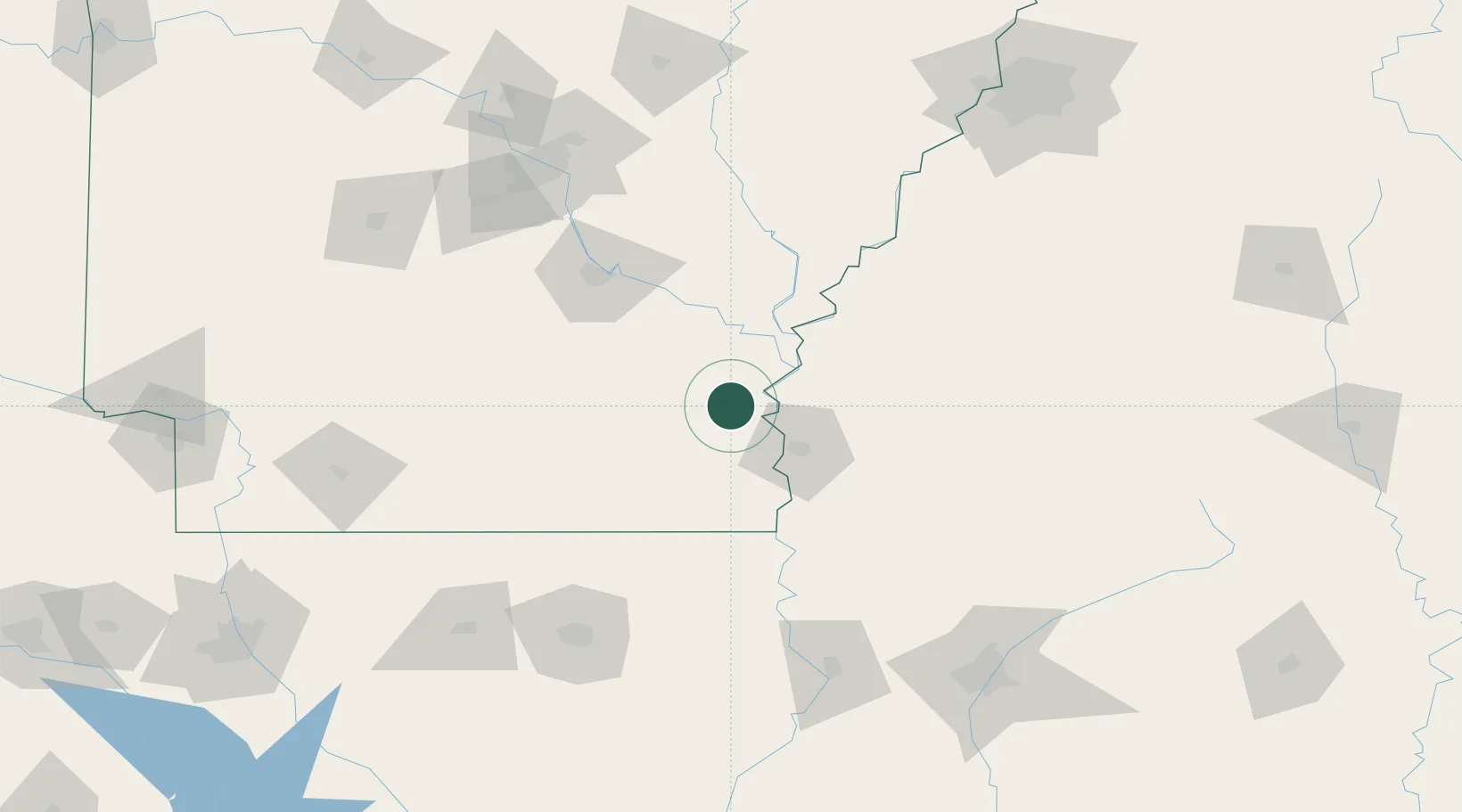
Place type
Populated place
Region
Arkansas
Population
3,919
Time zone
America/Chicago
Elevation
44 m
Location
Nearby Logistics Neighbours
Cities
- 1Tillar11 km
- 2Cypress Bend17 km
- 3Lamont29 km
- 4Scott30 km
- 5Greenville37 km
Ports
- 1Port Of Memphis196 km
- 2Baton Rouge353 km
- 3Madisonville376 km
- 4Slidell402 km
- 5Convent404 km
Airports
Trade Zones
- 1FTZ No. 287 Tunica County133 km
- 2FTZ No. 014 Little Rock143 km
- 3FTZ No. 158 Vicksburg Jackson155 km
- 4FTZ No. 262 Southaven193 km
- 5FTZ No. 077 Memphis198 km
DatabookThe Record of Consolidated Knowledge
United States beyond logistics?