UN/LOCODE hub · United States
USLLJ
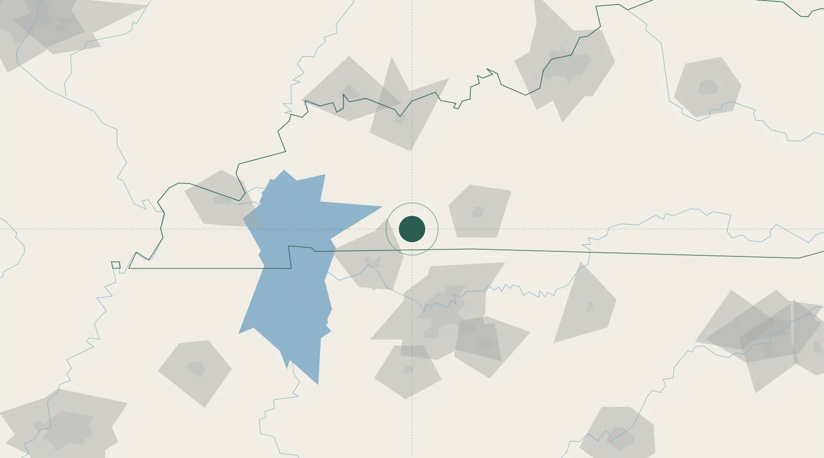
Gordonville
36.8333°, -87.0167°
400
Population
3
Transport functions
Transport Functions
Port
Road
Multimodal
Hub Profile
Place type
Populated place
Region
Missouri
Population
400
Time zone
America/Chicago
Elevation
120 m
Location
Nearby Logistics Neighbours
Cities
- 1Russellville12 km
- 2Elkton12 km
- 3Adams28 km
- 4South Union33 km
- 5Belton35 km
Ports
- 1Port Of Memphis345 km
- 2Gary533 km
- 3Indiana Harbor539 km
- 4Michigan City545 km
- 5Calumet Harbor547 km
Airports
Trade Zones
- 1FTZ No. 078 Nashville72 km
- 2FTZ No. 177 Evansville140 km
- 3FTZ No. 294 Western Kentucky142 km
- 4FTZ No. 029 Louisville192 km
- 5FTZ No. 265 Conroe (Montgomery County)241 km
DatabookThe Record of Consolidated Knowledge
United States beyond logistics?