Large airport · United States
Nashville International AirportKBNA
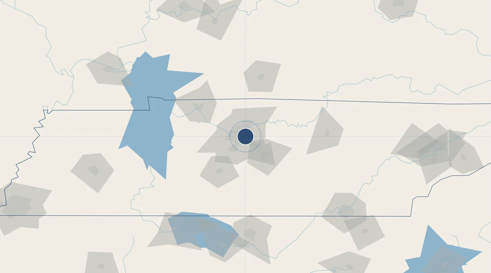
36.1245°, -86.6782°
11,030 ft
Longest runway
4
Runways
599 ft
Elevation
Runway & Layout

Radio Frequencies
ATIS
135.1 MHz
TWR
118.6 MHz
GND
121.9 MHz
CLD
126.05 MHz
CLNC DEL
APP
120.6 MHz
DEP
118.4 MHz
MISC
138.1 MHz
ANG MAINT
OPS
32.29 MHz
ANG OPS
RDO
122.2 MHz
UNIC
122.95 MHz
UNICOM
Navaids
BN NDB Dobbs 304 kHz
BNA VORTAC Nashville 114.10 MHz
VI NDB Opery 344 kHz
Runways · 4
| Runway | Dimensions | Surface | True heading | Lit |
|---|---|---|---|---|
| 13/31 | 11,030 × 150ft | Asphalt | 133° | ✓ |
| 02C/20C | 8,001 × 150ft | Concrete | 018° | ✓ |
| 02R/20L | 8,001 × 150ft | Concrete | 018° | ✓ |
| 02L/20R | 7,704 × 150ft | Concrete | 018° | ✓ |
Airport Specifications
IATA code
BNA
ICAO code
KBNA
Airport class
Large airport
Scheduled service
Yes
Runway surface
Asphalt
Served city
Nashville
Location
Nearby Logistics Neighbours
Airports
Cities
- 1Nashville7 km
- 2Hermitage10 km
- 3Mount Juliet17 km
- 4Greenbrier, Robertson34 km
- 5White House38 km
Ports
- 1Port Of Memphis337 km
- 2Gary613 km
- 3Indiana Harbor620 km
- 4Michigan City624 km
- 5Calumet Harbor628 km
Trade Zones
- 1FTZ No. 078 Nashville35 km
- 2FTZ No. 134 Chattanooga164 km
- 3FTZ No. 265 Conroe (Montgomery County)165 km
- 4FTZ No. 083 Huntsville165 km
- 5FTZ No. 270 Lawrence County166 km
DatabookThe Record of Consolidated Knowledge
United States beyond logistics?