Transport Functions
Rail
Road
Hub Profile
Place type
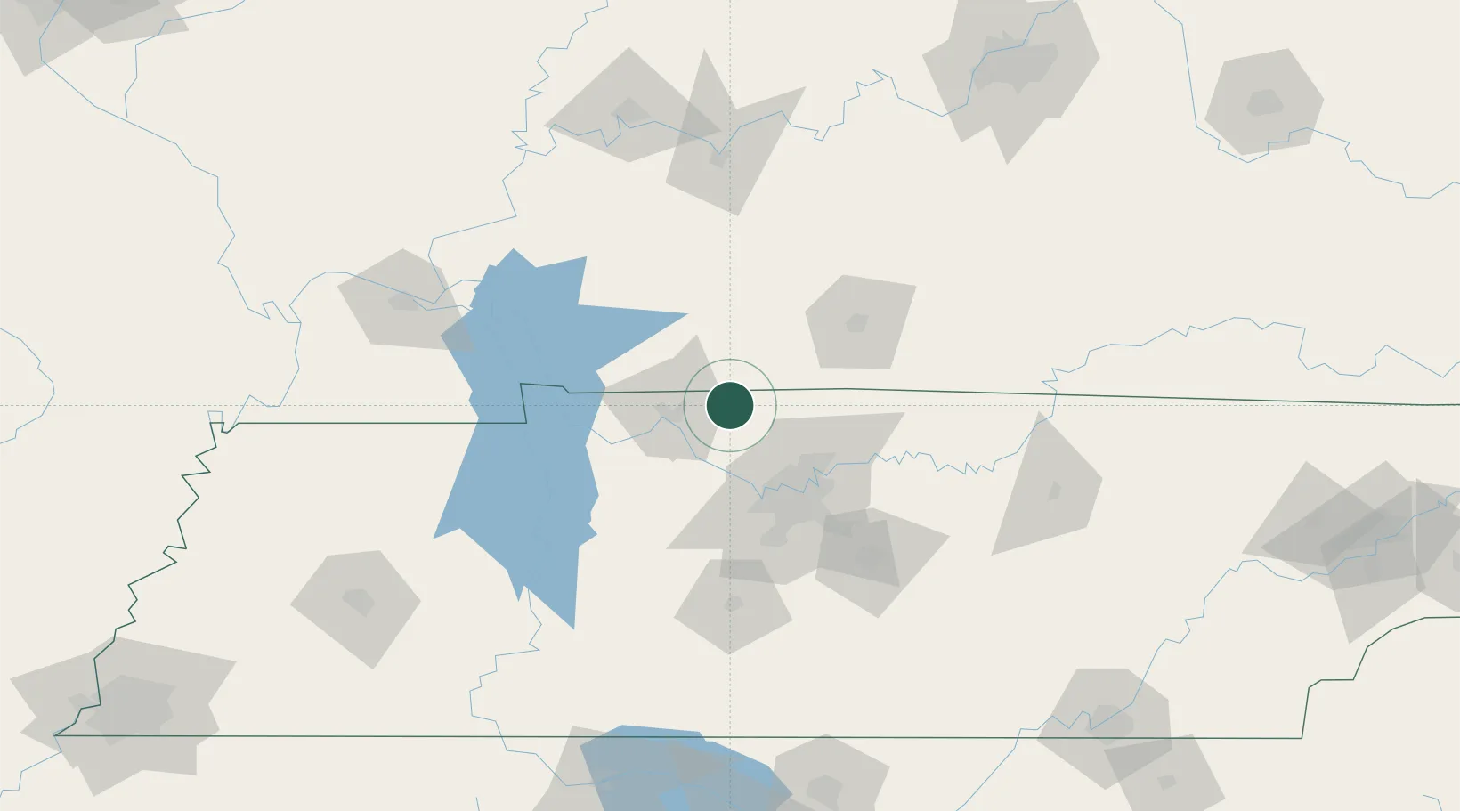
Populated place
Region
Tennessee
Population
656
Time zone
America/Chicago
Elevation
167 m
Location
Nearby Logistics Neighbours
Cities
- 1Pleasant View, Cheatham21 km
- 2Elkton25 km
- 3Gordonville28 km
- 4Greenbrier, Robertson30 km
- 5Orlinda31 km
Ports
- 1Port Of Memphis326 km
- 2Gary560 km
- 3Indiana Harbor566 km
- 4Michigan City573 km
- 5Calumet Harbor574 km
Airports
Trade Zones
- 1FTZ No. 078 Nashville44 km
- 2FTZ No. 294 Western Kentucky145 km
- 3FTZ No. 177 Evansville164 km
- 4FTZ No. 265 Conroe (Montgomery County)214 km
- 5FTZ No. 270 Lawrence County217 km
DatabookThe Record of Consolidated Knowledge
United States beyond logistics?