UN/LOCODE hub · United States
USRVK
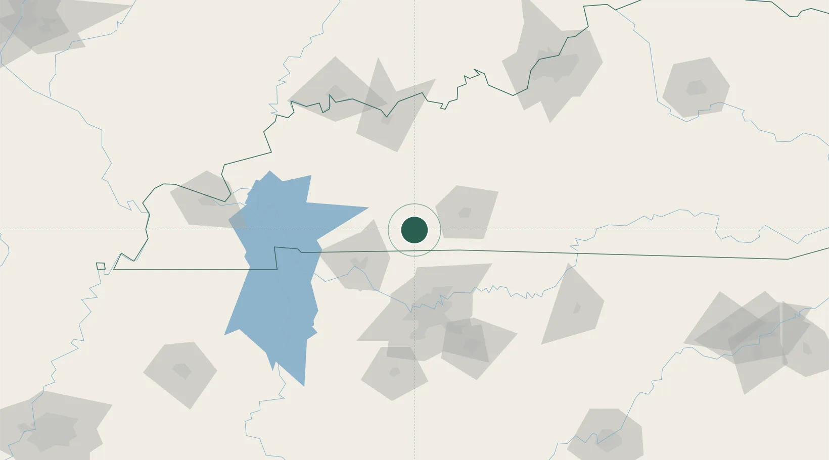
Russellville
36.8333°, -86.8833°
7,056
Population
3
Transport functions
Transport Functions
Rail
Road
Multimodal
Hub Profile
Place type
Provincial seat
Region
Kentucky
Population
7,056
Time zone
America/Chicago
Elevation
181 m
Location
Nearby Logistics Neighbours
Cities
- 1Gordonville12 km
- 2South Union22 km
- 3Elkton24 km
- 4Orlinda30 km
- 5Woorburn31 km
Ports
- 1Port Of Memphis355 km
- 2Gary533 km
- 3Indiana Harbor540 km
- 4Michigan City545 km
- 5Calumet Harbor548 km
Airports
Trade Zones
- 1FTZ No. 078 Nashville74 km
- 2FTZ No. 177 Evansville145 km
- 3FTZ No. 294 Western Kentucky153 km
- 4FTZ No. 029 Louisville186 km
- 5FTZ No. 134 Chattanooga236 km
DatabookThe Record of Consolidated Knowledge
United States beyond logistics?