Medium airport · United States
Smyrna AirportKMQY
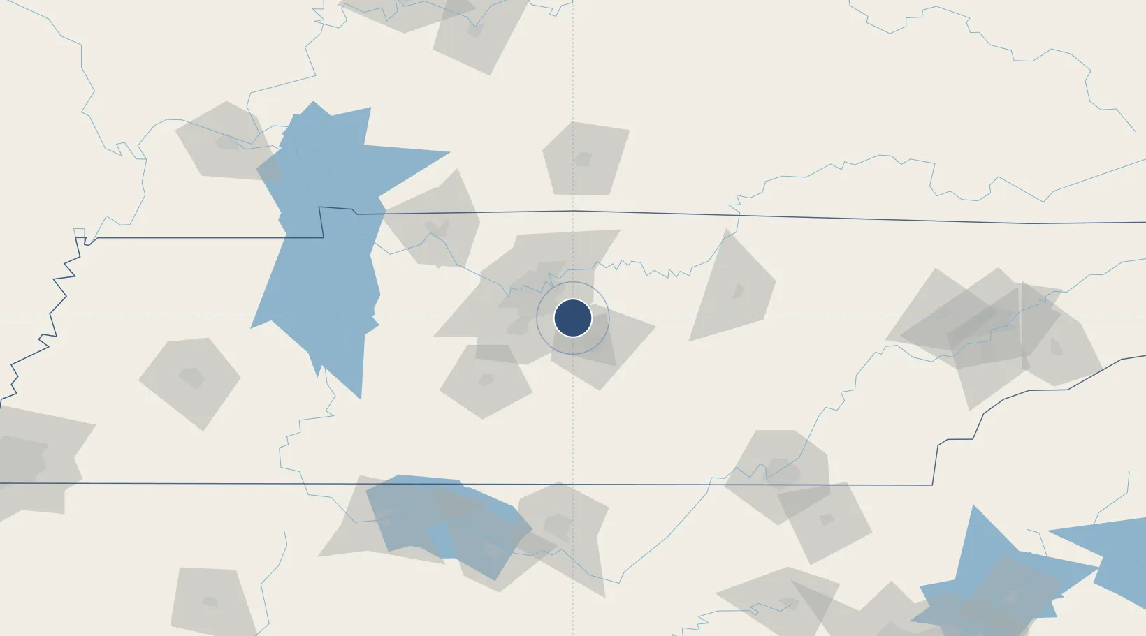
36.0090°, -86.5201°
8,038 ft
Longest runway
2
Runways
543 ft
Elevation
Runway & Layout

Radio Frequencies
ASOS
119.125 MHz
TWR
118.5 MHz
GND
121.4 MHz
CLD
121.4 MHz
CLNC DEL
CTAF
118.5 MHz
A/D
128.45 MHz
NASHVILLE APP/DEP
OPS
41.5 MHz
ARNG OPS
UNIC
122.95 MHz
UNICOM
Navaids
SWZ NDB Sewart 391 kHz
Runways · 2
| Runway | Dimensions | Surface | True heading | Lit |
|---|---|---|---|---|
| 14/32 | 8,038 × 150ft | Asphalt | 139° | ✓ |
| 01/19 | 5,546 × 100ft | Asphalt | 004° | ✓ |
Airport Specifications
IATA code
MQY
ICAO code
KMQY
Airport class
Medium airport
Scheduled service
No
Runway surface
Asphalt
Served city
Smyrna
Location
Nearby Logistics Neighbours
Airports
Cities
- 1Mount Juliet21 km
- 2Hermitage23 km
- 3Nashville26 km
- 4Woodbury46 km
- 5Cottontown49 km
Ports
- 1Port Of Memphis346 km
- 2Gary628 km
- 3Indiana Harbor634 km
- 4Michigan City637 km
- 5Calumet Harbor642 km
Trade Zones
- 1FTZ No. 078 Nashville53 km
- 2FTZ No. 134 Chattanooga145 km
- 3FTZ No. 083 Huntsville153 km
- 4FTZ No. 265 Conroe (Montgomery County)155 km
- 5FTZ No. 270 Lawrence County156 km
DatabookThe Record of Consolidated Knowledge
United States beyond logistics?