Transport Functions
Port
Road
Multimodal
Hub Profile
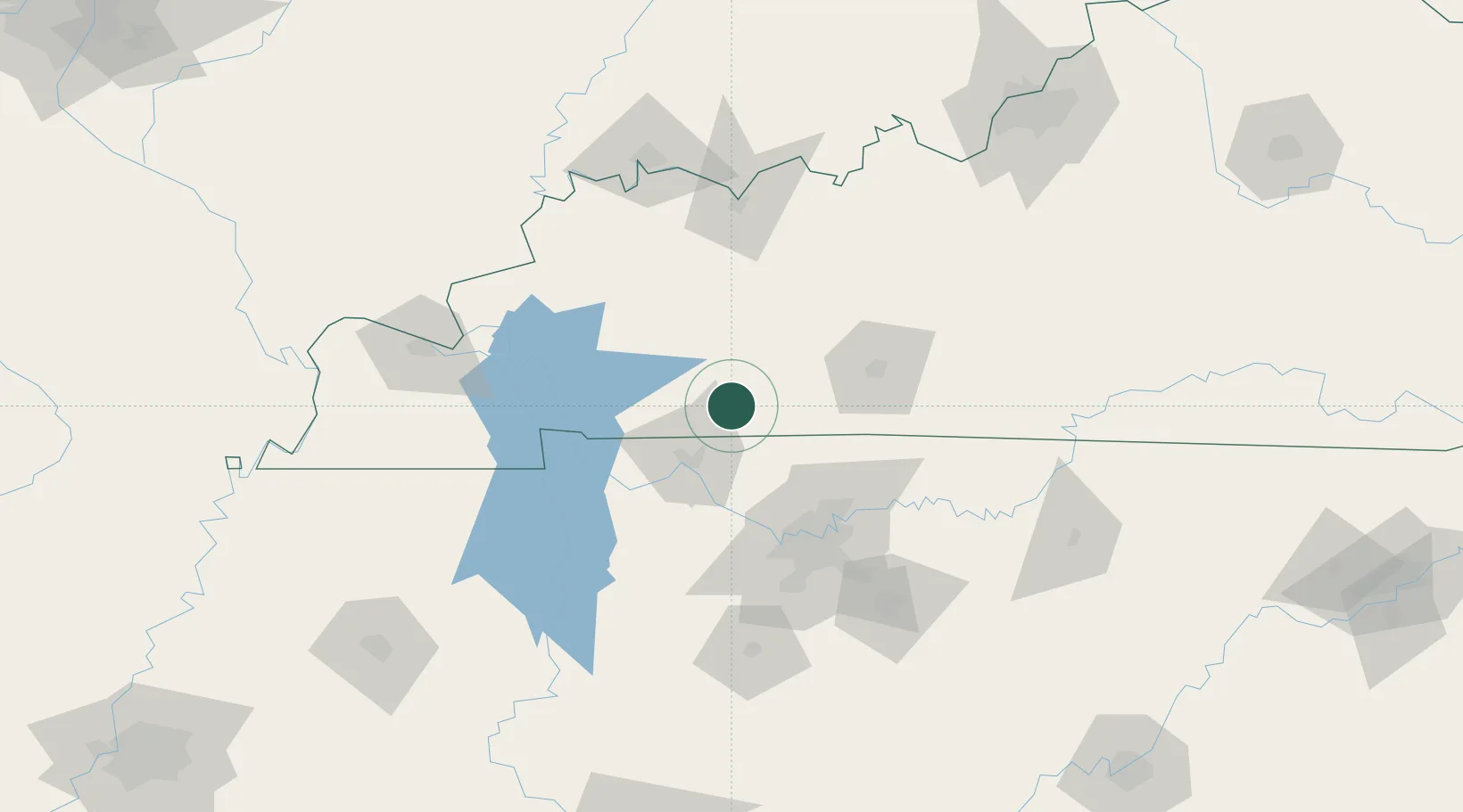
Place type
Provincial seat
Region
Kentucky
Population
2,175
Time zone
America/Chicago
Elevation
190 m
Location
Nearby Logistics Neighbours
Cities
- 1Gordonville12 km
- 2Russellville24 km
- 3Adams25 km
- 4Fort Campbell33 km
- 5Crofton39 km
Ports
- 1Port Of Memphis333 km
- 2Gary536 km
- 3Indiana Harbor542 km
- 4Michigan City549 km
- 5Calumet Harbor550 km
Airports
Trade Zones
- 1FTZ No. 078 Nashville69 km
- 2FTZ No. 294 Western Kentucky131 km
- 3FTZ No. 177 Evansville139 km
- 4FTZ No. 029 Louisville202 km
- 5FTZ No. 265 Conroe (Montgomery County)238 km
DatabookThe Record of Consolidated Knowledge
United States beyond logistics?