Medium airport · United States
Truckee Tahoe AirportKTRK
39.3186°, -120.1406°
7,001 ft
Longest runway
2
Runways
5,900 ft
Elevation
Runway & Layout

Radio Frequencies
AWOS
118 MHz
AWOS 3
TWR
120.575 MHz
Tower (seasonal)
GND
118.3 MHz
Ground (seasonal)
CTAF
120.575 MHz
Truckee Traffic
CNTR
127.95 MHz
OAKLAND CNTR
UNIC
122.8 MHz
UNICOM
Runways · 2
| Runway | Dimensions | Surface | True heading | Lit |
|---|---|---|---|---|
| 11/29 | 7,001 × 100ft | Asphalt | 120° | ✓ |
| 02/20 | 4,650 × 75ft | Asphalt | 030° | ✓ |
Airport Specifications
IATA code
TKF
ICAO code
KTRK
Airport class
Medium airport
Scheduled service
Yes
Runway surface
Asphalt
Served city
Truckee
Location
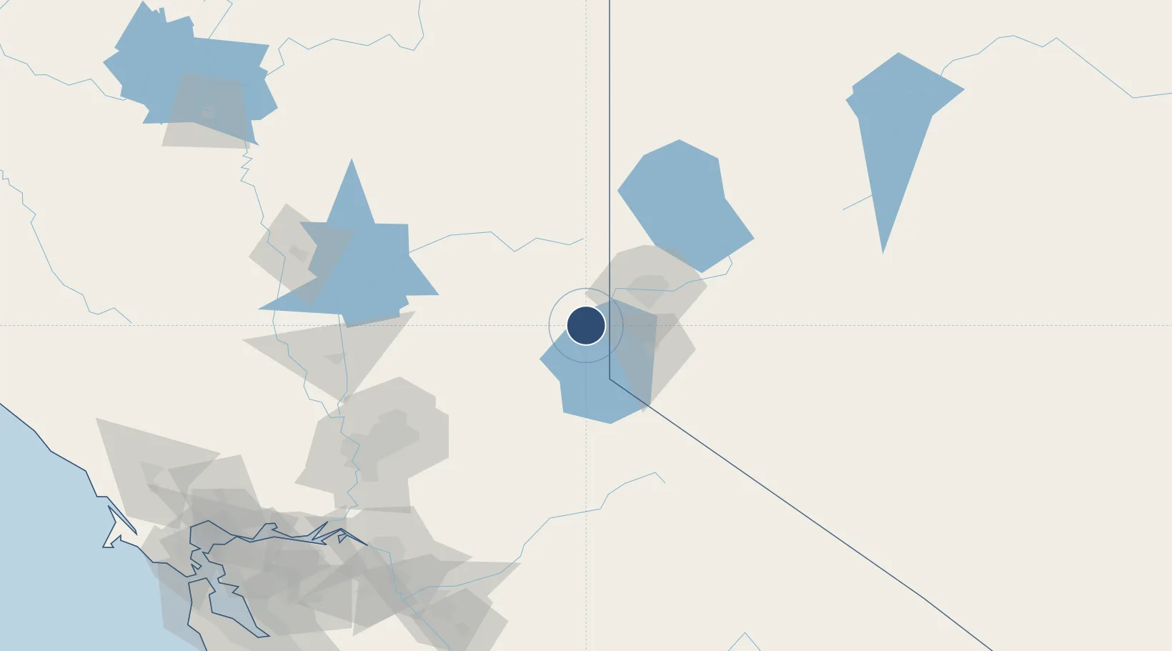
Nearby Logistics Neighbours
Airports
- 1Carson Airport38 km
- 2Reno Tahoe International Airport38 km
- 3Lake Tahoe Airport49 km
- 4Beale Air Force Base114 km
- 5Fallon Naval Air Station124 km
Cities
- 1Incline Village16 km
- 2Olympic Valley18 km
- 3Mound House43 km
- 4Reno-Stead43 km
- 5McCarran45 km
Ports
- 1Sacramento143 km
- 2Courtland165 km
- 3Walnut Grove170 km
- 4Isleton180 km
- 5Stockton183 km
Trade Zones
- 1FTZ No. 126 Sparks42 km
- 2FTZ No. 143 West Sacramento145 km
- 3FTZ No. 231 Stockton184 km
- 4FTZ No. 226 Merced, Madera and Fresno Counties226 km
- 5FTZ No. 056 Oakland250 km
DatabookThe Record of Consolidated Knowledge
United States beyond logistics?