UN/LOCODE hub · United States
USUIS

Saint Louis

39.7000°, -120.9167°
2
Transport functions

Transport Functions

Road
Multimodal
UN/LOCODE

Hub Profile

Place type
Populated place
GeoNames
Region
California
GeoNames
Time zone
America/Los_Angeles
GeoNames
Elevation
1,532 m
GeoNames

Location

Location of USUIS
Natural Earth 10m (public domain) · California · USUIS · 39.70, -120.92GoogleOSMYandex

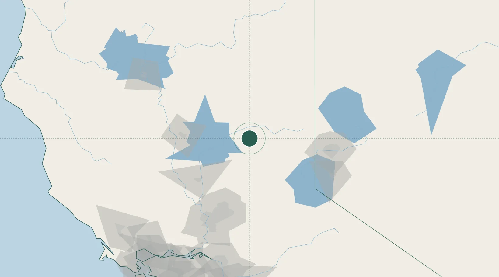
Nearby Logistics Neighbours

Cities
  1. 1La Porte6 km
  2. 2Quincy24 km
  3. 3Berry Creek42 km
  4. 4Emigrant Gap51 km
  5. 5Penn Valley62 km
Nearest neighbours — logibook spatial index (haversine) over the source coordinates
Ports
  1. 1Sacramento134 km
  2. 2Courtland162 km
  3. 3Walnut Grove171 km
  4. 4Isleton181 km
  5. 5Rio Vista185 km
Nearest neighbours — logibook spatial index (haversine) over the source coordinates
Airports
  1. 1Beale Air Force Base77 km
  2. 2Truckee Tahoe Airport79 km
  3. 3Yuba County Airport87 km
  4. 4Reno Tahoe International Airport101 km
  5. 5Carson Airport116 km
Nearest neighbours — logibook spatial index (haversine) over the source coordinates
Trade Zones
  1. 1FTZ No. 126 Sparks98 km
  2. 2FTZ No. 143 West Sacramento135 km
  3. 3FTZ No. 231 Stockton198 km
  4. 4FTZ No. 056 Oakland241 km
  5. 5FTZ No. 003 San Francisco247 km
Nearest neighbours — logibook spatial index (haversine) over the source coordinates
DatabookThe Record of Consolidated Knowledge
United States beyond logistics?
Browse databook

All Sources

LocationsUN/LOCODE
UN/LOCODE — free
Portsthe NGA World Port Index
Public domain (US gov)
AirportsOurAirports
Public domain
Trade Zonesthe World Bank SEZ database
CC BY 4.0
Trade ZonesOpen Zone Map
CC BY
← United States locations