UN/LOCODE hub · United States
USZUM
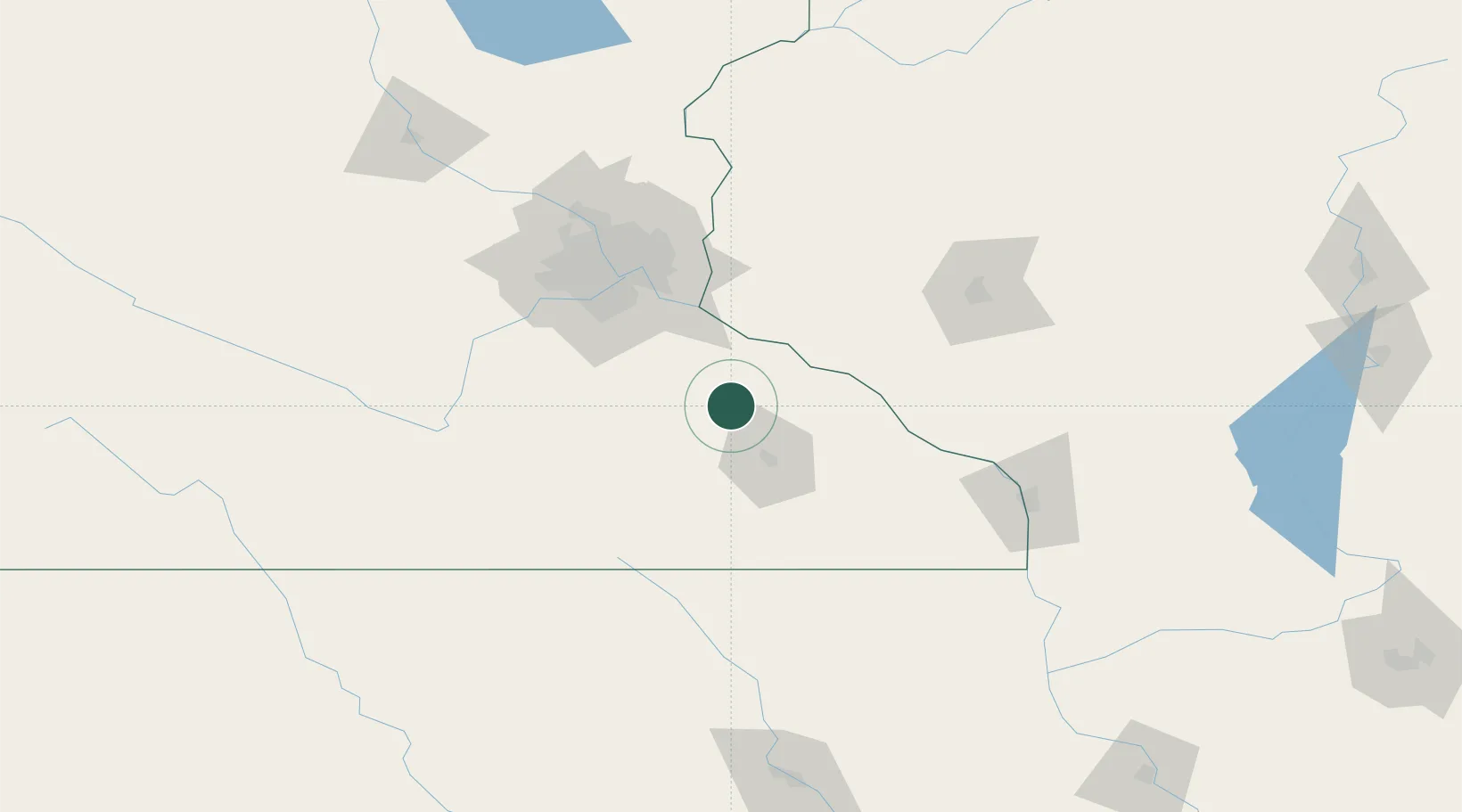
Zumbrota
44.2833°, -92.6667°
3,365
Population
3
Transport functions
Transport Functions
Port
Road
Multimodal
Hub Profile
Place type
Populated place
Region
Minnesota
Population
3,365
Time zone
America/Chicago
Elevation
302 m
Location
Nearby Logistics Neighbours
Cities
- 1Pine Island10 km
- 2Kasson28 km
- 3Byron30 km
- 4Nerstrand32 km
- 5Lake City37 km
Ports
- 1Superior276 km
- 2Duluth280 km
- 3Ashland293 km
- 4Washburn299 km
- 5Two Harbors314 km
Airports
Trade Zones
DatabookThe Record of Consolidated Knowledge
United States beyond logistics?