UN/LOCODE hub · United States
USYPI
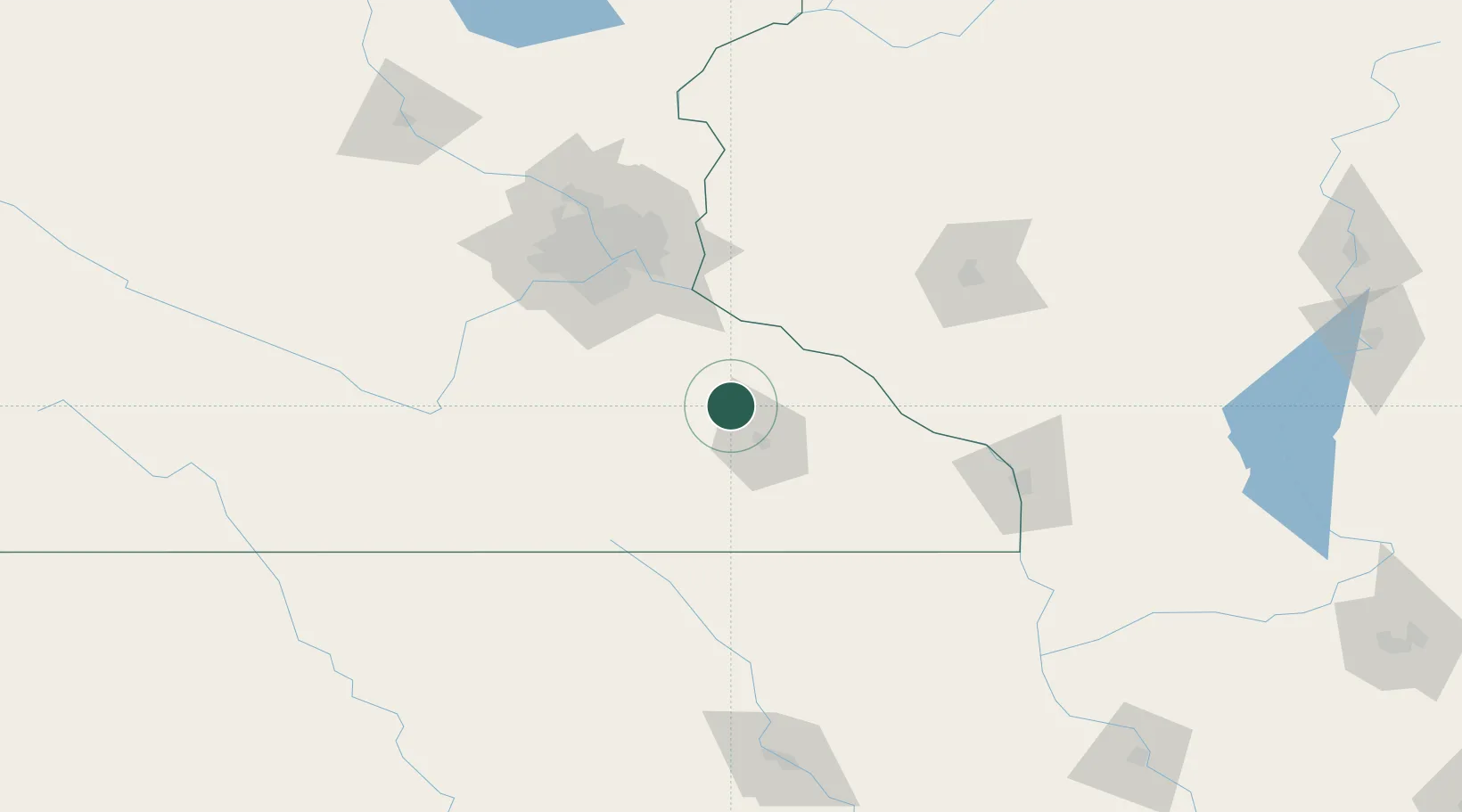
Pine Island
44.2000°, -92.6333°
3,337
Population
2
Transport functions
Transport Functions
Road
Multimodal
Hub Profile
Place type
Populated place
Region
Minnesota
Population
3,337
Time zone
America/Chicago
Elevation
306 m
Location
Nearby Logistics Neighbours
Airports
Trade Zones
DatabookThe Record of Consolidated Knowledge
United States beyond logistics?