Transport Functions
Rail
Road
Multimodal
Hub Profile
Place type
Populated place
Region
Arkansas
Population
412
Time zone
America/Chicago
Elevation
38 m
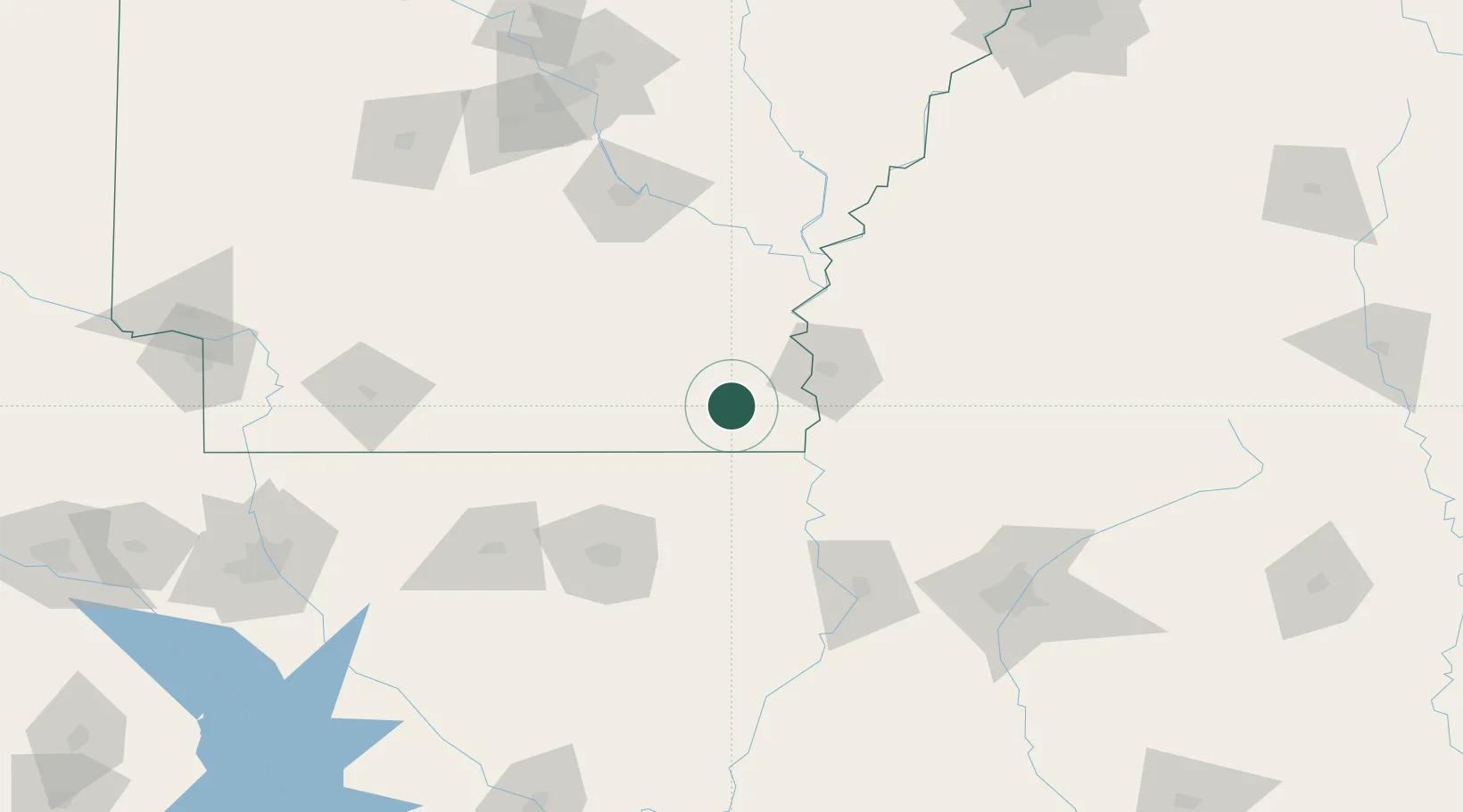
Location
Nearby Logistics Neighbours
Cities
- 1Hamburg25 km
- 2Eudora29 km
- 3McGehee44 km
- 4Greenville50 km
- 5Cypress Bend50 km
Ports
- 1Port Of Memphis239 km
- 2Baton Rouge311 km
- 3Madisonville341 km
- 4Convent364 km
- 5Reserve366 km
Airports
Trade Zones
- 1FTZ No. 158 Vicksburg Jackson122 km
- 2FTZ No. 014 Little Rock176 km
- 3FTZ No. 287 Tunica County176 km
- 4FTZ No. 262 Southaven235 km
- 5FTZ No. 077 Memphis241 km
DatabookThe Record of Consolidated Knowledge
United States beyond logistics?