Transport Functions
Multimodal
Hub Profile
Place type
Provincial seat
Region
Arkansas
Population
2,791
Time zone
America/Chicago
Elevation
49 m
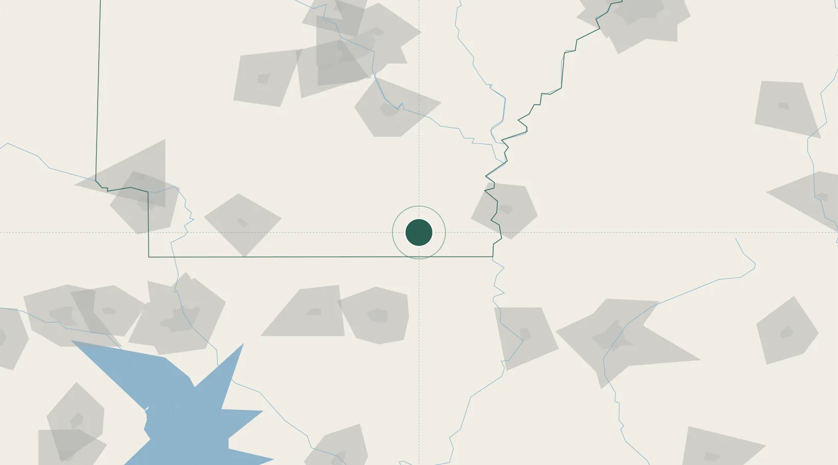
Location
Nearby Logistics Neighbours
Ports
- 1Port Of Memphis254 km
- 2Baton Rouge313 km
- 3Madisonville349 km
- 4Lake Charles361 km
- 5Convent367 km
Airports
Trade Zones
- 1FTZ No. 158 Vicksburg Jackson137 km
- 2FTZ No. 014 Little Rock171 km
- 3FTZ No. 287 Tunica County190 km
- 4FTZ No. 145 Shreveport220 km
- 5FTZ No. 146 Lawrence County220 km
DatabookThe Record of Consolidated Knowledge
United States beyond logistics?