Medium airport · United States

South Arkansas Regional Airport at Goodwin FieldKELD
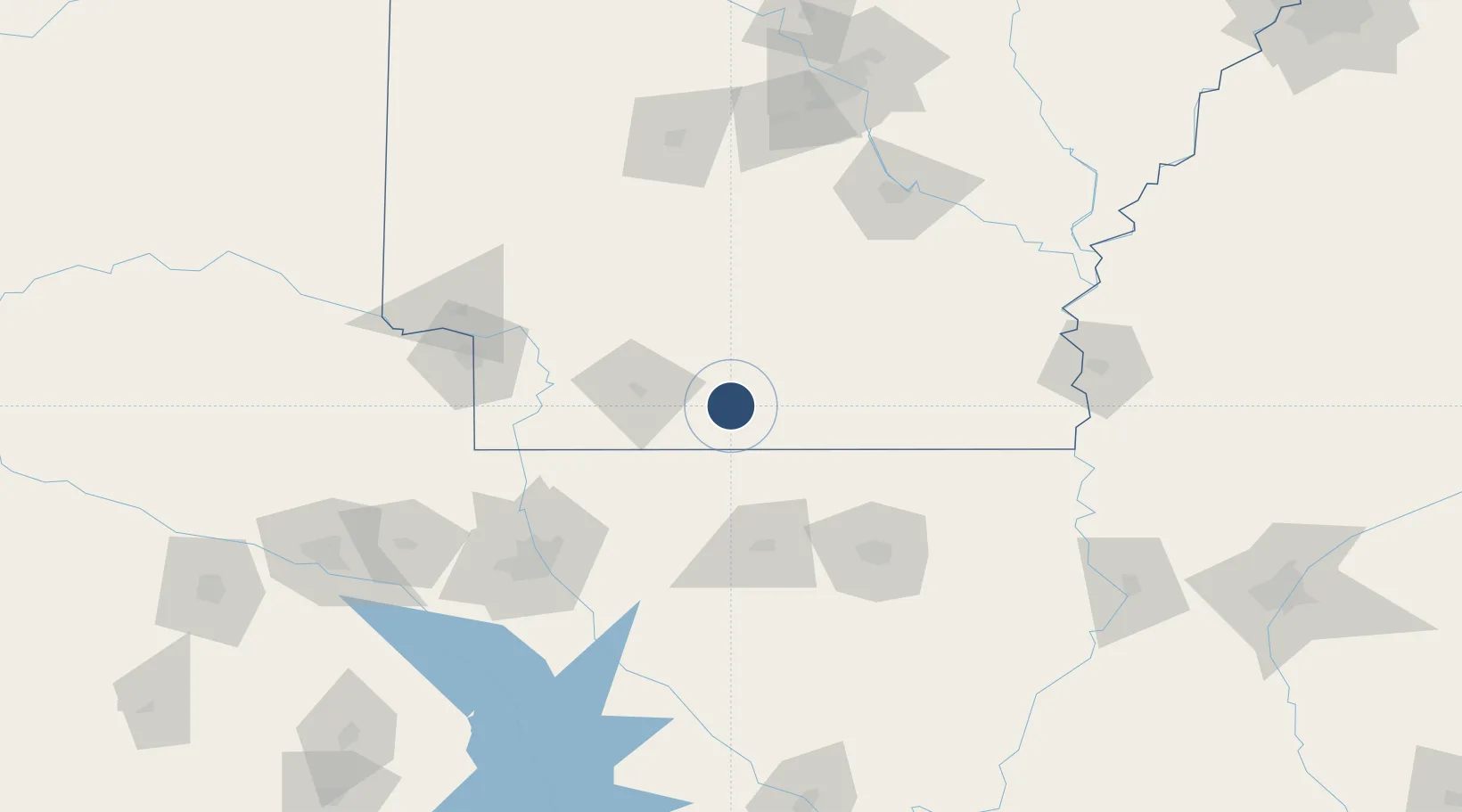
33.2210°, -92.8133°
6,601 ft
Longest runway
1
Runways
277 ft
Elevation

Runway & Layout

South Arkansas Regional Airport at Goodwin Field runway & taxiway layout
Runway & taxiway layout — OpenStreetMap (ODbL) / OurAirports

Radio Frequencies

ASOS
118.325 MHz
A/D
126.32 MHz
FORT WORTH CNTR
RDO
122.65 MHz
JONESBORO RDO
UNIC
123 MHz
CTAF/UNICOM
OurAirports

Runways · 1

RunwayDimensions SurfaceTrue headingLit
04/22 6,601 × 150ft Asphalt 046°
OurAirports

Airport Specifications

IATA code
ELD
OurAirports
ICAO code
KELD
OurAirports
Airport class
Medium airport
OurAirports
Scheduled service
Yes
OurAirports
Runway surface
Asphalt
OurAirports
Served city
El Dorado
OurAirports

Location

Location of KELD
Natural Earth 10m (public domain) · Arkansas · KELD · 33.22, -92.81GoogleOSMYandex

Nearby Logistics Neighbours

Airports
  1. 1Monroe Regional Airport107 km
  2. 2Monticello Municipal Ellis Field109 km
  3. 3Texarkana Regional Airport (Webb Field)112 km
  4. 4Barksdale Air Force Base113 km
  5. 5Shreveport Regional Airport128 km
Nearest neighbours — logibook spatial index (haversine) over the source coordinates
Cities
  1. 1Smackover17 km
  2. 2Strong47 km
  3. 3Homer52 km
  4. 4Sarepta70 km
  5. 5Cotton Valley72 km
Nearest neighbours — logibook spatial index (haversine) over the source coordinates
Ports
  1. 1Port Of Memphis319 km
  2. 2Lake Charles337 km
  3. 3Baton Rouge344 km
  4. 4Orange360 km
  5. 5Beaumont369 km
Nearest neighbours — logibook spatial index (haversine) over the source coordinates
Trade Zones
  1. 1FTZ No. 145 Shreveport136 km
  2. 2FTZ No. 146 Lawrence County136 km
  3. 3FTZ No. 258 Bowie County175 km
  4. 4FTZ No. 014 Little Rock176 km
  5. 5FTZ No. 234 Gregg County212 km
Nearest neighbours — logibook spatial index (haversine) over the source coordinates
DatabookThe Record of Consolidated Knowledge
United States beyond logistics?
Browse databook

All Sources

AirportsOurAirports
Public domain
Portsthe NGA World Port Index
Public domain (US gov)
LocationsUN/LOCODE
UN/LOCODE — free
Trade Zonesthe World Bank SEZ database
CC BY 4.0
Trade ZonesOpen Zone Map
CC BY
InfrastructureOpenStreetMap
ODbL 1.0
← United States airports