UN/LOCODE hub · United States
USLCF
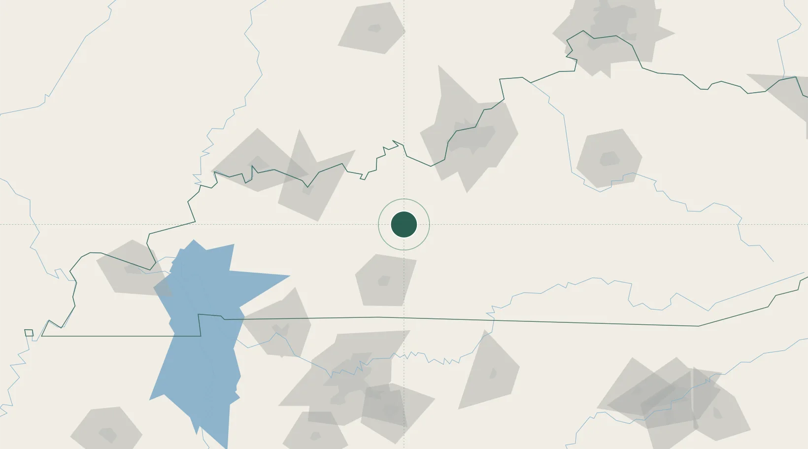
Leitchfield
37.4667°, -86.2833°
6,873
Population
4
Transport functions
Transport Functions
Port
Rail
Road
Multimodal
Hub Profile
Place type
Provincial seat
Region
Kentucky
Population
6,873
Time zone
America/Chicago
Elevation
227 m
Location
Nearby Logistics Neighbours
Cities
- 1Millwood9 km
- 2Falls of Rough26 km
- 3Sonora36 km
- 4Munfordville42 km
- 5Fordsville44 km
Ports
- 1Port Of Memphis439 km
- 2Gary470 km
- 3Indiana Harbor477 km
- 4Michigan City477 km
- 5Calumet Harbor486 km
Airports
Trade Zones
- 1FTZ No. 029 Louisville99 km
- 2FTZ No. 177 Evansville131 km
- 3FTZ No. 078 Nashville159 km
- 4FTZ No. 047 Boone County206 km
- 5FTZ No. 294 Western Kentucky208 km
DatabookThe Record of Consolidated Knowledge
United States beyond logistics?