Transport Functions
Rail
Road
Hub Profile
Place type
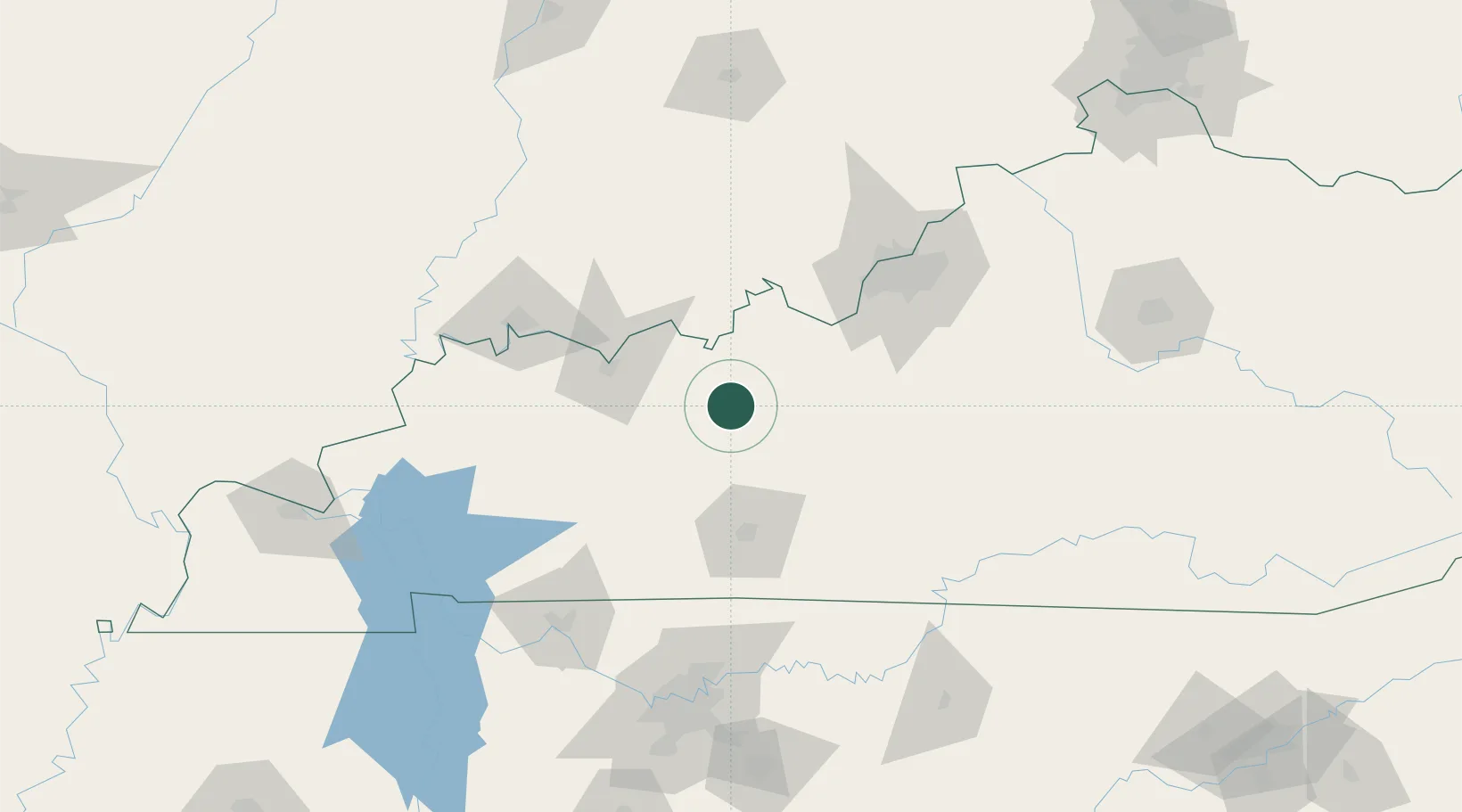
Populated place
Region
Kentucky
Time zone
America/Chicago
Elevation
148 m
Location
Nearby Logistics Neighbours
Cities
- 1Fordsville19 km
- 2Millwood20 km
- 3Leitchfield26 km
- 4Hartford36 km
- 5Hawesville40 km
Ports
- 1Port Of Memphis429 km
- 2Gary454 km
- 3Indiana Harbor461 km
- 4Michigan City463 km
- 5Calumet Harbor469 km
Airports
Trade Zones
- 1FTZ No. 029 Louisville100 km
- 2FTZ No. 177 Evansville106 km
- 3FTZ No. 078 Nashville162 km
- 4FTZ No. 294 Western Kentucky190 km
- 5FTZ No. 047 Boone County210 km
DatabookThe Record of Consolidated Knowledge
United States beyond logistics?