UN/LOCODE hub · United States
USUNF
Munfordville
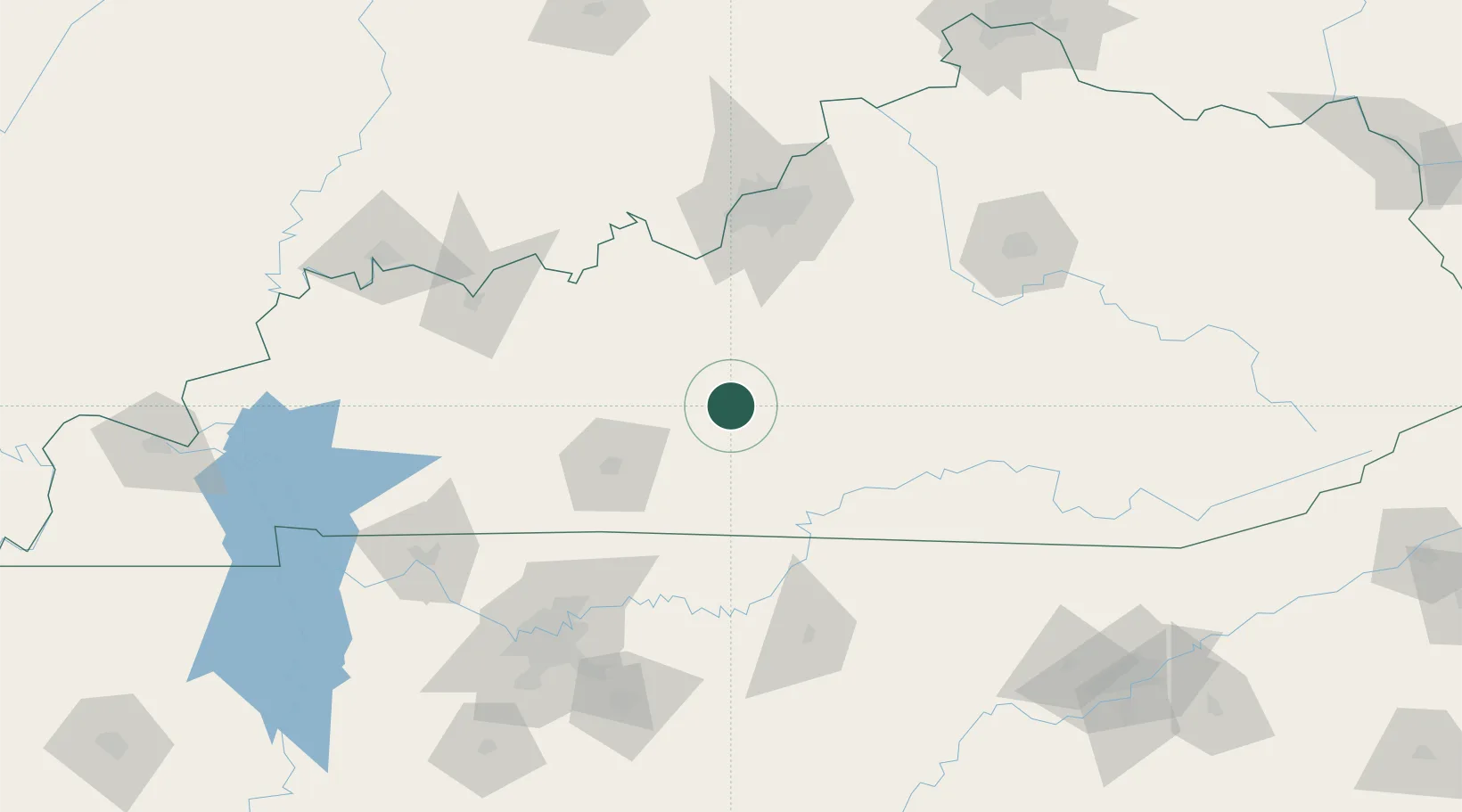
37.2667°, -85.8833°
1,640
Population
3
Transport functions
Transport Functions
Rail
Road
Multimodal
Hub Profile
Place type
Provincial seat
Region
Kentucky
Population
1,640
Time zone
America/Chicago
Elevation
187 m
Location
Nearby Logistics Neighbours
Cities
- 1Cave City17 km
- 2Sonora28 km
- 3Edmonton42 km
- 4Leitchfield42 km
- 5Summer Shade46 km
Ports
- 1Gary499 km
- 2Michigan City504 km
- 3Indiana Harbor507 km
- 4Calumet Harbor516 km
- 5Chicago534 km
Airports
Trade Zones
- 1FTZ No. 029 Louisville112 km
- 2FTZ No. 078 Nashville160 km
- 3FTZ No. 177 Evansville173 km
- 4FTZ No. 148 Knoxville205 km
- 5FTZ No. 047 Boone County208 km
DatabookThe Record of Consolidated Knowledge
United States beyond logistics?