UN/LOCODE hub · United States
USL2V
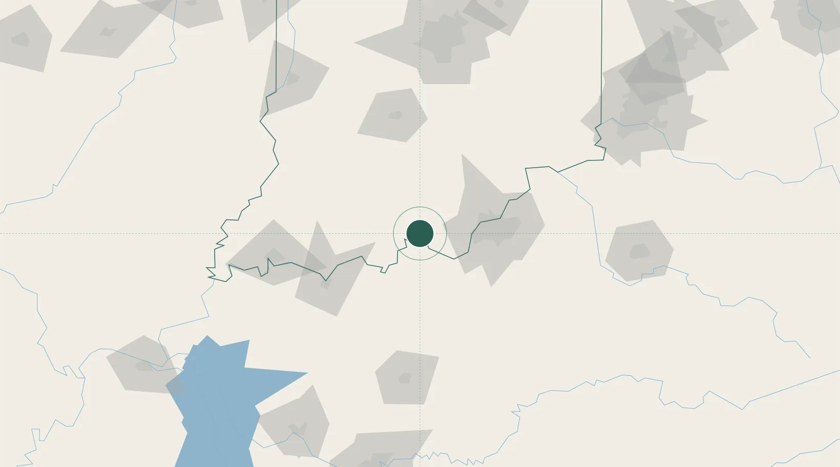
Leavenworth
38.1833°, -86.3333°
231
Population
1
Transport functions
Transport Functions
Multimodal
Hub Profile
Place type
Populated place
Region
Indiana
Population
231
Time zone
America/Indiana/Marengo
Elevation
201 m
Location
Nearby Logistics Neighbours
Cities
- 1Wolf Creek10 km
- 2English20 km
- 3Marengo20 km
- 4Ramsey22 km
- 5Mauckport22 km
Ports
- 1Gary391 km
- 2Michigan City398 km
- 3Indiana Harbor399 km
- 4Calumet Harbor407 km
- 5Chicago425 km
Airports
Trade Zones
- 1FTZ No. 029 Louisville48 km
- 2FTZ No. 177 Evansville114 km
- 3FTZ No. 047 Boone County153 km
- 4FTZ No. 072 Indianapolis171 km
- 5FTZ No. 046 CIncinnati188 km
DatabookThe Record of Consolidated Knowledge
United States beyond logistics?