Transport Functions
Rail
Road
Hub Profile
Place type
Provincial seat
Region
Indiana
Population
630
Time zone
America/Indiana/Marengo
Elevation
154 m
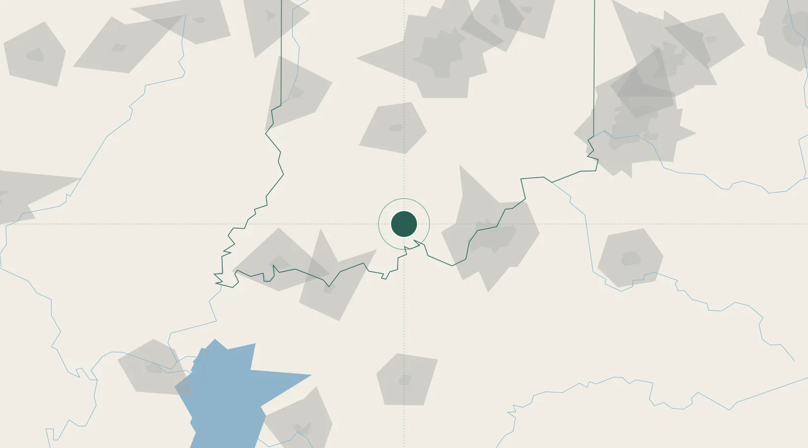
Location
Nearby Logistics Neighbours
Cities
- 1Marengo12 km
- 2Leavenworth20 km
- 3Paoli24 km
- 4Wolf Creek27 km
- 5Ramsey28 km
Ports
- 1Gary373 km
- 2Indiana Harbor380 km
- 3Michigan City380 km
- 4Calumet Harbor389 km
- 5Chicago406 km
Airports
Trade Zones
- 1FTZ No. 029 Louisville59 km
- 2FTZ No. 177 Evansville107 km
- 3FTZ No. 047 Boone County154 km
- 4FTZ No. 072 Indianapolis155 km
- 5FTZ No. 046 CIncinnati190 km
DatabookThe Record of Consolidated Knowledge
United States beyond logistics?