Transport Functions
Rail
Road
Multimodal
Hub Profile
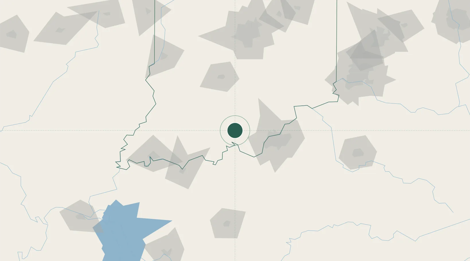
Place type
Populated place
Region
Indiana
Population
811
Time zone
America/Indiana/Marengo
Elevation
182 m
Location
Nearby Logistics Neighbours
Cities
- 1English12 km
- 2Ramsey17 km
- 3Leavenworth20 km
- 4New Salisbury21 km
- 5Paoli24 km
Ports
- 1Gary371 km
- 2Michigan City377 km
- 3Indiana Harbor379 km
- 4Calumet Harbor388 km
- 5Chicago406 km
Airports
Trade Zones
- 1FTZ No. 029 Louisville48 km
- 2FTZ No. 177 Evansville119 km
- 3FTZ No. 047 Boone County142 km
- 4FTZ No. 072 Indianapolis151 km
- 5FTZ No. 046 CIncinnati178 km
DatabookThe Record of Consolidated Knowledge
United States beyond logistics?