Transport Functions
Rail
Road
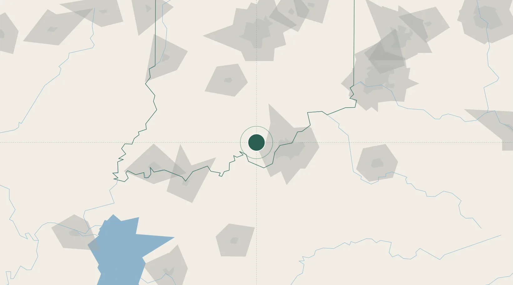
Hub Profile
Place type
Populated place
Region
Indiana
Time zone
America/Kentucky/Louisville
Elevation
215 m
Location
Nearby Logistics Neighbours
Cities
- 1New Salisbury4 km
- 2Marengo17 km
- 3Lanesville17 km
- 4New Middletown21 km
- 5Leavenworth22 km
Ports
- 1Gary381 km
- 2Michigan City385 km
- 3Indiana Harbor388 km
- 4Calumet Harbor397 km
- 5Chicago415 km
Airports
- 1Louisville Muhammad Ali International Airport40 km
- 2Bowman Field44 km
- 3Godman Army Air Field48 km
- 4Monroe County Airport101 km
- 5Columbus Municipal Airport107 km
Trade Zones
- 1FTZ No. 029 Louisville31 km
- 2FTZ No. 047 Boone County131 km
- 3FTZ No. 177 Evansville133 km
- 4FTZ No. 072 Indianapolis157 km
- 5FTZ No. 046 CIncinnati167 km
DatabookThe Record of Consolidated Knowledge
United States beyond logistics?