UN/LOCODE hub · United States
USWZB

Wolf Creek

38.1000°, -86.3833°
2
Transport functions

Transport Functions

Road
Multimodal
UN/LOCODE

Hub Profile

Place type
Populated place
GeoNames
Region
Kentucky
GeoNames
Time zone
America/New_York
GeoNames
Elevation
129 m
GeoNames

Location

Location of USWZB
Natural Earth 10m (public domain) · Kentucky · USWZB · 38.10, -86.38GoogleOSMYandex

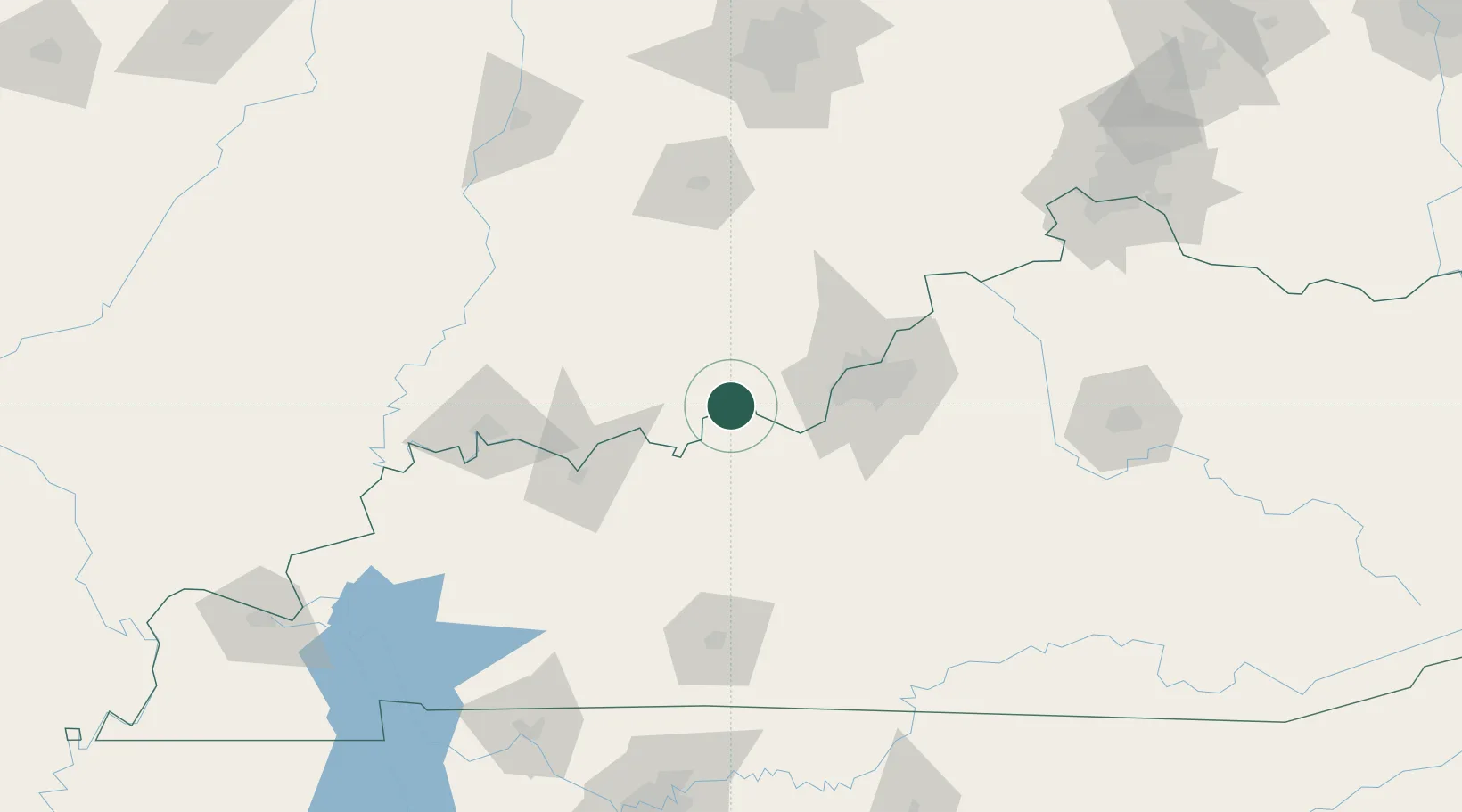
Nearby Logistics Neighbours

Cities
  1. 1Leavenworth10 km
  2. 2Mauckport19 km
  3. 3English27 km
  4. 4New Middletown30 km
  5. 5Marengo30 km
Nearest neighbours — logibook spatial index (haversine) over the source coordinates
Ports
  1. 1Gary399 km
  2. 2Michigan City406 km
  3. 3Indiana Harbor407 km
  4. 4Calumet Harbor415 km
  5. 5Chicago433 km
Nearest neighbours — logibook spatial index (haversine) over the source coordinates
Airports
  1. 1Godman Army Air Field42 km
  2. 2Louisville Muhammad Ali International Airport57 km
  3. 3Bowman Field65 km
  4. 4Owensboro Daviess County Airport80 km
  5. 5Evansville Regional Airport101 km
Nearest neighbours — logibook spatial index (haversine) over the source coordinates
Trade Zones
  1. 1FTZ No. 029 Louisville54 km
  2. 2FTZ No. 177 Evansville108 km
  3. 3FTZ No. 047 Boone County162 km
  4. 4FTZ No. 072 Indianapolis181 km
  5. 5FTZ No. 046 CIncinnati197 km
Nearest neighbours — logibook spatial index (haversine) over the source coordinates
DatabookThe Record of Consolidated Knowledge
United States beyond logistics?
Browse databook

All Sources

LocationsUN/LOCODE
UN/LOCODE — free
Portsthe NGA World Port Index
Public domain (US gov)
AirportsOurAirports
Public domain
Trade Zonesthe World Bank SEZ database
CC BY 4.0
Trade ZonesOpen Zone Map
CC BY
← United States locations