Transport Functions
Port
Road
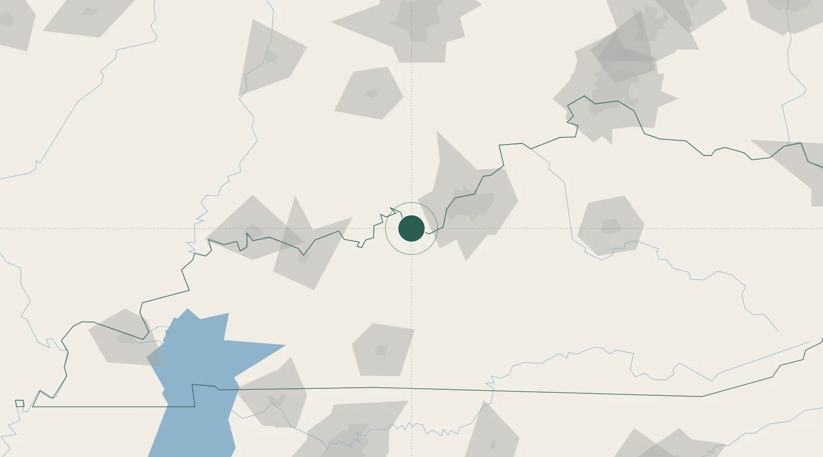
Hub Profile
Place type
Populated place
Region
Indiana
Population
81
Time zone
America/Kentucky/Louisville
Elevation
134 m
Location
Nearby Logistics Neighbours
Cities
- 1Wolf Creek19 km
- 2New Middletown20 km
- 3Leavenworth22 km
- 4Lanesville31 km
- 5Ramsey34 km
Ports
- 1Gary412 km
- 2Michigan City418 km
- 3Indiana Harbor419 km
- 4Calumet Harbor428 km
- 5Chicago446 km
Airports
Trade Zones
- 1FTZ No. 029 Louisville45 km
- 2FTZ No. 177 Evansville124 km
- 3FTZ No. 047 Boone County155 km
- 4FTZ No. 046 CIncinnati190 km
- 5FTZ No. 072 Indianapolis190 km
DatabookThe Record of Consolidated Knowledge
United States beyond logistics?