UN/LOCODE hub · United States
USBF6
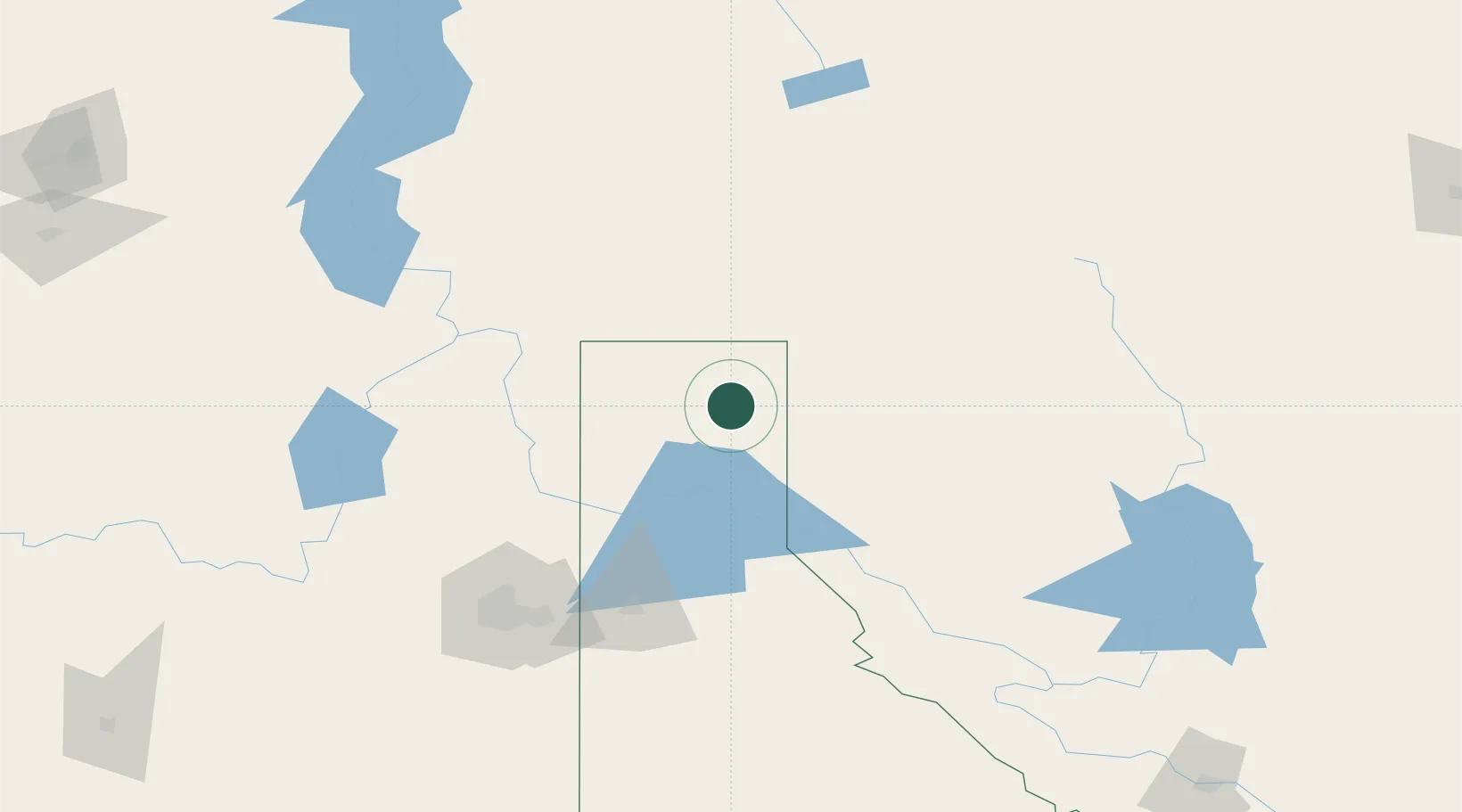
Bonners Ferry
48.6833°, -116.3167°
2,549
Population
3
Transport functions
Transport Functions
Port
Rail
Road
Hub Profile
Place type
Provincial seat
Region
Idaho
Population
2,549
Time zone
America/Los_Angeles
Elevation
578 m
Location
Nearby Logistics Neighbours
Ports
- 1Mission City437 km
- 2Everett443 km
- 3Mukilteo450 km
- 4Bellingham454 km
- 5Point Wells461 km
Airports
Trade Zones
- 1FTZ No. 242 Boundary County38 km
- 2FTZ No. 224 Spokane142 km
- 3FTZ No. 203 Moses Lake284 km
- 4FTZ No. 187 Toole County296 km
- 5Calgary Region Inland Port309 km
DatabookThe Record of Consolidated Knowledge
United States beyond logistics?