Small airport · Canada

Trail Regional AirportCAD4

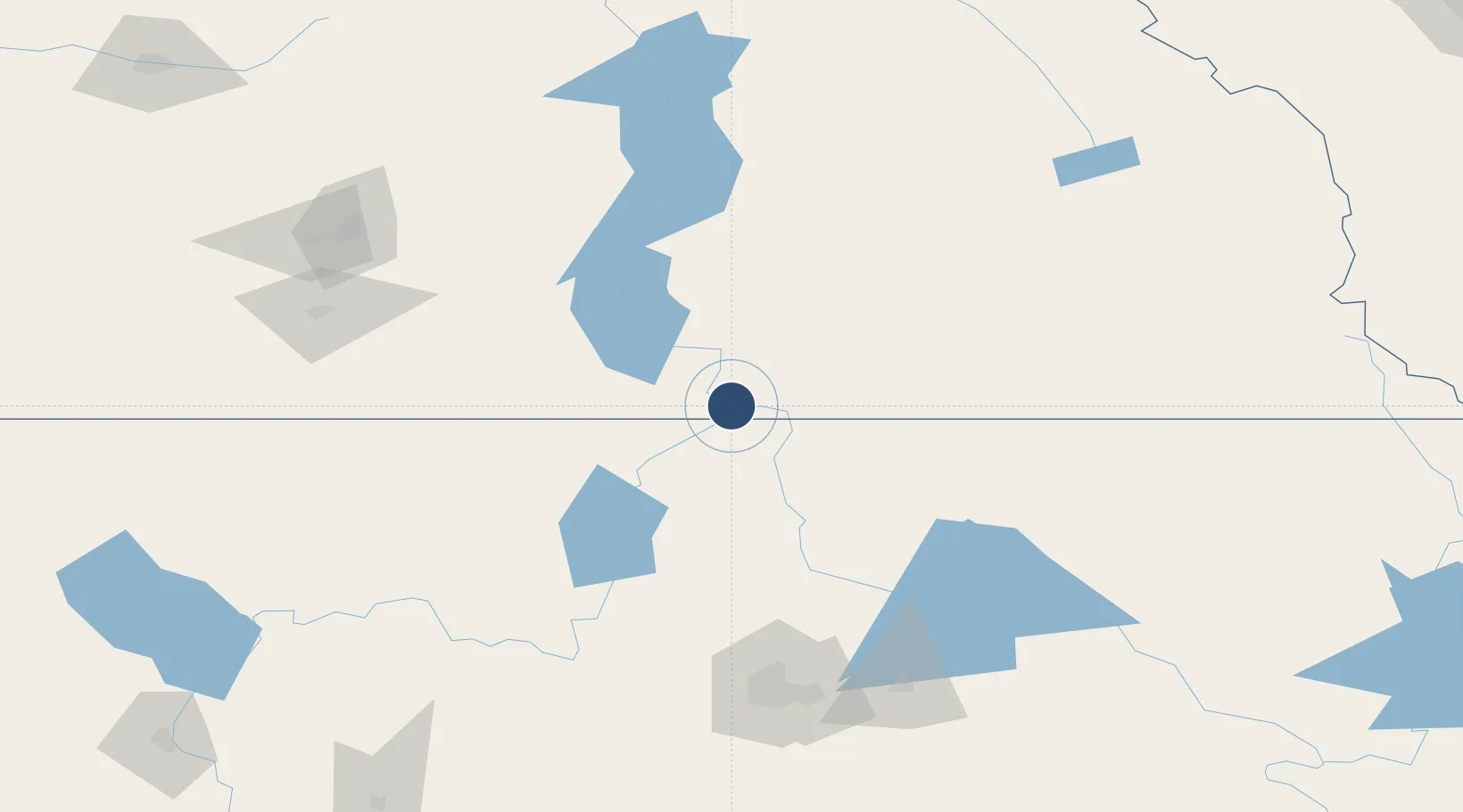
49.0556°, -117.6090°
4,000 ft
Longest runway
1
Runways
1,427 ft
Elevation

Runway & Layout

Trail Regional Airport runway & taxiway layout
Runway & taxiway layout — OpenStreetMap (ODbL) / OurAirports

Radio Frequencies

ATF
123.2 MHz
OurAirports

Runways · 1

RunwayDimensions SurfaceTrue headingLit
16/34 4,000 × 75ft Asphalt 179°
OurAirports

Airport Specifications

IATA code
YZZ
OurAirports
ICAO code
CAD4
OurAirports
Airport class
Small airport
OurAirports
Scheduled service
Yes
OurAirports
Runway surface
Asphalt
OurAirports
Served city
Trail
OurAirports

Location

Location of CAD4
Natural Earth 10m (public domain) · British Columbia · CAD4 · 49.06, -117.61GoogleOSMYandex

Nearby Logistics Neighbours

Airports
  1. 1Castlegar/West Kootenay Regional Airport27 km
  2. 2Grand Forks Airport60 km
  3. 3Cranbrook/Canadian Rockies International Airport146 km
  4. 4Penticton Airport152 km
  5. 5Coeur D'Alene Airport - Pappy Boyington Field154 km
Nearest neighbours — logibook spatial index (haversine) over the source coordinates
Cities
  1. 1Salmo30 km
  2. 2Nelson53 km
  3. 3Kettle Falls59 km
  4. 4Colville60 km
  5. 5Greenwood79 km
Nearest neighbours — logibook spatial index (haversine) over the source coordinates
Ports
  1. 1Mission City339 km
  2. 2Everett359 km
  3. 3Bellingham359 km
  4. 4Mukilteo367 km
  5. 5Anacortes372 km
Nearest neighbours — logibook spatial index (haversine) over the source coordinates
Trade Zones
  1. 1FTZ No. 242 Boundary County67 km
  2. 2FTZ No. 224 Spokane154 km
  3. 3FTZ No. 203 Moses Lake250 km
  4. 4Calgary Region Inland Port336 km
  5. 5FTZ No. 085 Everett359 km
Nearest neighbours — logibook spatial index (haversine) over the source coordinates
DatabookThe Record of Consolidated Knowledge
Canada beyond logistics?
Browse databook

All Sources

AirportsOurAirports
Public domain
Portsthe NGA World Port Index
Public domain (US gov)
LocationsUN/LOCODE
UN/LOCODE — free
Trade Zonesthe World Bank SEZ database
CC BY 4.0
Trade ZonesOpen Zone Map
CC BY
InfrastructureOpenStreetMap
ODbL 1.0
← Canada airports