Transport Functions
Port
Multimodal
Hub Profile
Place type
Populated place
Region
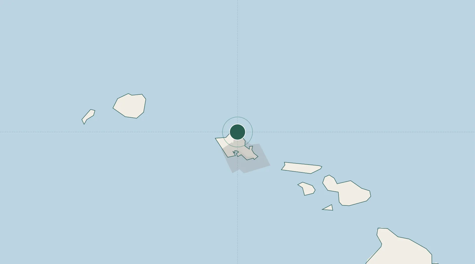
Hawaii
Population
2,614
Time zone
Pacific/Honolulu
Elevation
1 m
Location
Nearby Logistics Neighbours
Cities
- 1Haleiwa18 km
- 2Mililani Town27 km
- 3Waianae35 km
- 4Waianae35 km
- 5Kailua37 km
Ports
- 1Honolulu42 km
- 2Barber's Point43 km
- 3Kaunakakai115 km
- 4Nawiliwili Bay148 km
- 5Lahaina160 km
Airports
Trade Zones
- 1FTZ No. 009 Honolulu42 km
- 2FTZ No. 248 Eureka3816 km
- 3FTZ No. 003 San Francisco3841 km
- 4FTZ No. 056 Oakland3851 km
- 5FTZ No. 132 Coos County3934 km
DatabookThe Record of Consolidated Knowledge
United States beyond logistics?