UN/LOCODE hub · United States
USHA7
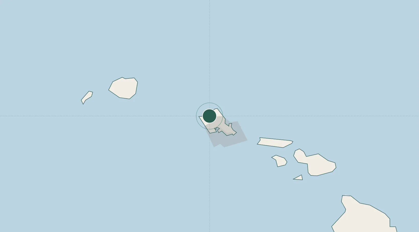
Haleiwa
21.5833°, -158.1000°
3,970
Population
1
Transport functions
Transport Functions
Port
Hub Profile
Place type
Populated place
Region
Hawaii
Population
3,970
Time zone
Pacific/Honolulu
Elevation
1 m
Location
Nearby Logistics Neighbours
Cities
- 1Mililani Town15 km
- 2Kahuku18 km
- 3Waianae19 km
- 4Waianae19 km
- 5Kapolei28 km
Ports
- 1Barber's Point30 km
- 2Honolulu40 km
- 3Kaunakakai124 km
- 4Nawiliwili Bay135 km
- 5Port Allen157 km
Airports
Trade Zones
- 1FTZ No. 009 Honolulu40 km
- 2FTZ No. 248 Eureka3834 km
- 3FTZ No. 003 San Francisco3859 km
- 4FTZ No. 056 Oakland3869 km
- 5FTZ No. 132 Coos County3951 km
DatabookThe Record of Consolidated Knowledge
United States beyond logistics?