Transport Functions
Port
Multimodal
Hub Profile
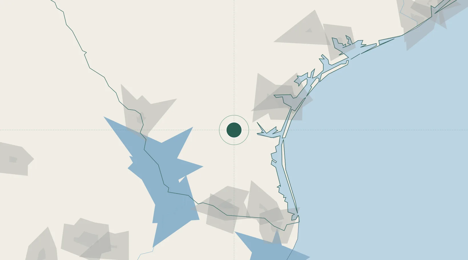
Place type
Populated place
Region
Texas
Population
2,659
Time zone
America/Chicago
Elevation
50 m
Location
Nearby Logistics Neighbours
Cities
- 1Sarita36 km
- 2San Diego48 km
- 3Hebbronville56 km
- 4Edroy81 km
- 5Oilton85 km
Ports
- 1Corpus Christi88 km
- 2Port Ingleside106 km
- 3Port Aransas118 km
- 4Rockport129 km
- 5Port Isabel168 km
Airports
Trade Zones
- 1FTZ No. 122 Corpus Christi87 km
- 2FTZ No. 095 Starr County129 km
- 3FTZ No. 156 Weslaco133 km
- 4FTZ No. 157 Casper133 km
- 5FTZ No. 012 McAllen134 km
DatabookThe Record of Consolidated Knowledge
United States beyond logistics?