UN/LOCODE hub · United States
USLXD

Lenox Dale

42.3333°, -73.2500°
3
Transport functions

Transport Functions

Rail
Road
Multimodal
UN/LOCODE

Hub Profile

Place type
Populated place
GeoNames
Region
Massachusetts
GeoNames
Time zone
America/New_York
GeoNames
Elevation
294 m
GeoNames

Location

Location of USLXD
Natural Earth 10m (public domain) · Massachusetts · USLXD · 42.33, -73.25GoogleOSMYandex

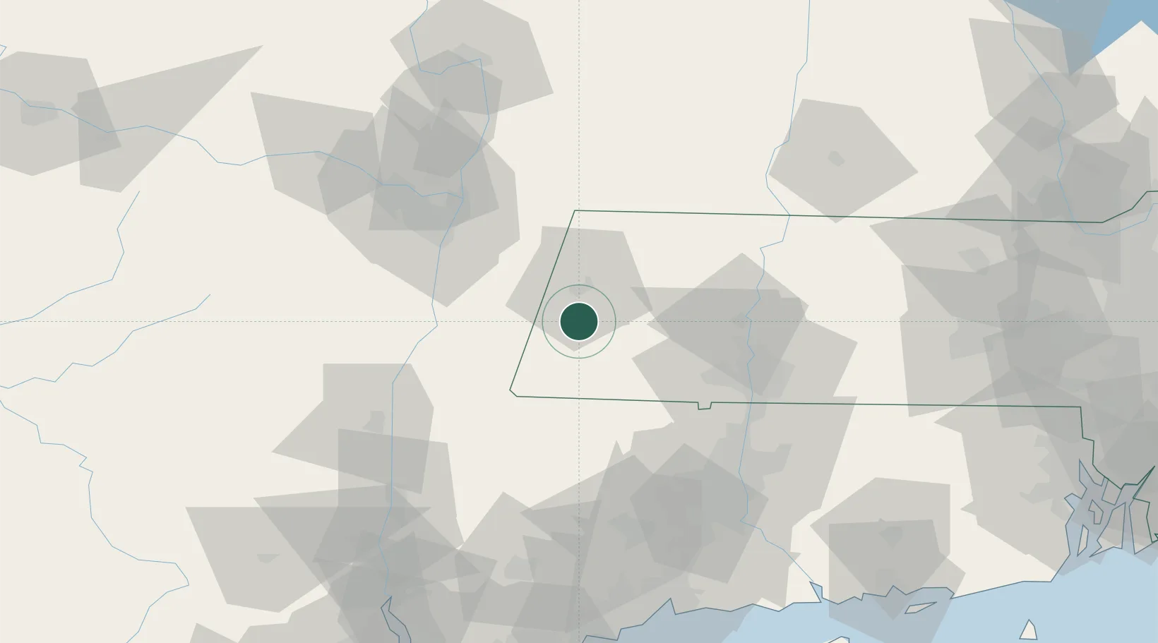
Nearby Logistics Neighbours

Cities
  1. 1Dalton16 km
  2. 2Indian Orchard20 km
  3. 3Stephentown24 km
  4. 4Garfield25 km
  5. 5Sheffield26 km
Nearest neighbours — logibook spatial index (haversine) over the source coordinates
Ports
  1. 1Catskill51 km
  2. 2Albany54 km
  3. 3Rensselaer54 km
  4. 4Troy58 km
  5. 5Kingston74 km
Nearest neighbours — logibook spatial index (haversine) over the source coordinates
Airports
  1. 1Westfield-Barnes Regional Airport48 km
  2. 2Westover Metropolitan Airport / Westover Air Reserve Base61 km
  3. 3Bradley International Airport64 km
  4. 4Albany International Airport65 km
  5. 5Schenectady County Airport80 km
Nearest neighbours — logibook spatial index (haversine) over the source coordinates
Trade Zones
  1. 1FTZ No. 201 Holyoke46 km
  2. 2FTZ No. 121 Albany63 km
  3. 3FTZ No. 071 Windsor Locks68 km
  4. 4FTZ No. 268 Brattleboro79 km
  5. 5FTZ No. 162 New Haven117 km
Nearest neighbours — logibook spatial index (haversine) over the source coordinates
DatabookThe Record of Consolidated Knowledge
United States beyond logistics?
Browse databook

All Sources

LocationsUN/LOCODE
UN/LOCODE — free
Portsthe NGA World Port Index
Public domain (US gov)
AirportsOurAirports
Public domain
Trade Zonesthe World Bank SEZ database
CC BY 4.0
Trade ZonesOpen Zone Map
CC BY
← United States locations