Transport Functions
Rail
Road
Hub Profile
Place type
Populated place
Region
Washington
Population
291
Time zone
America/Los_Angeles
Elevation
745 m
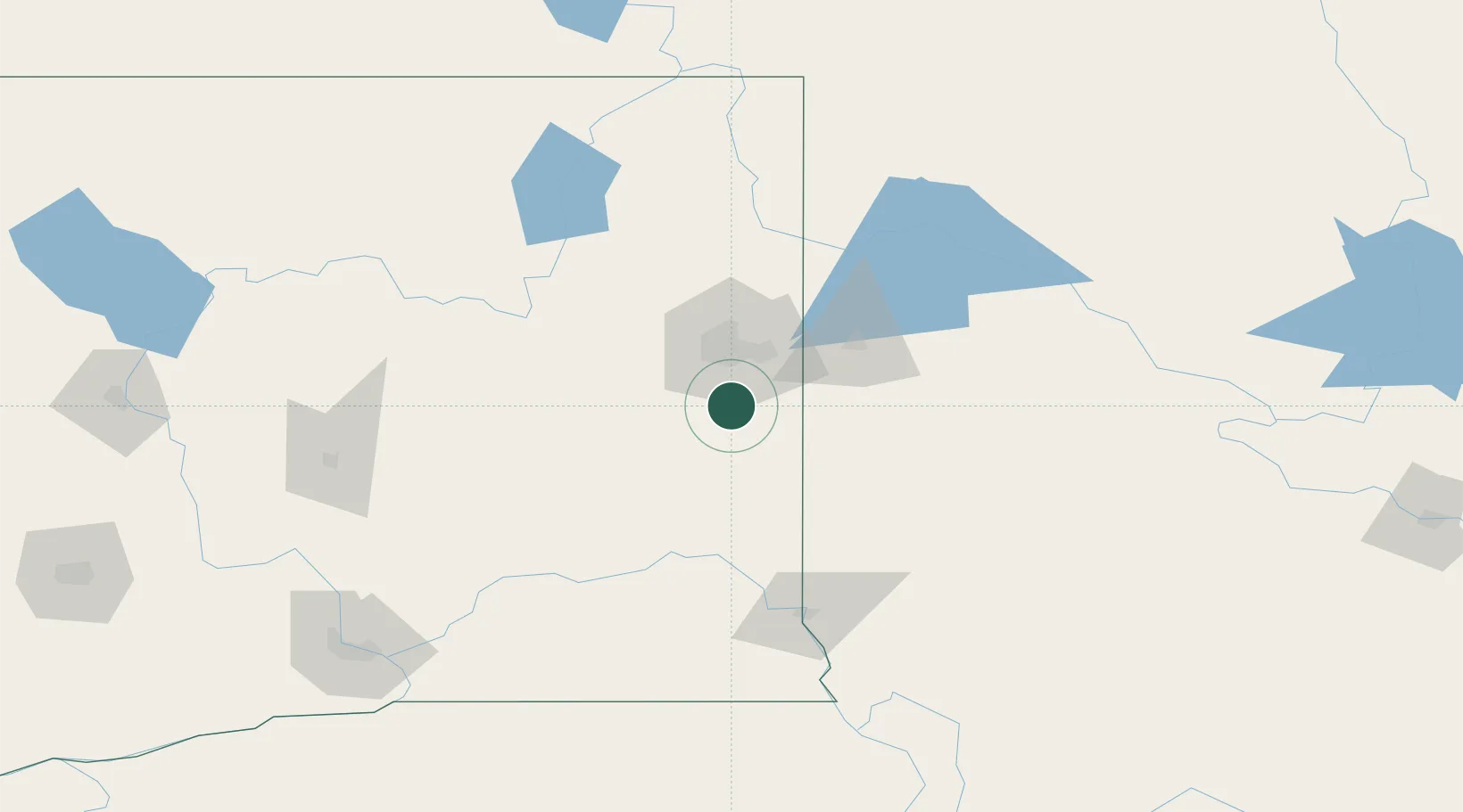
Location
Nearby Logistics Neighbours
Cities
- 1Cheney15 km
- 2Fairfield17 km
- 3Mica19 km
- 4Airway Heights30 km
- 5Fairchild Air Force Base31 km
Ports
- 1The Dalles354 km
- 2Everett367 km
- 3Seattle372 km
- 4Mukilteo373 km
- 5Point Wells378 km
Airports
Trade Zones
- 1FTZ No. 224 Spokane29 km
- 2FTZ No. 203 Moses Lake151 km
- 3FTZ No. 242 Boundary County154 km
- 4FTZ No. 085 Everett368 km
- 5FTZ No. 086 Tacoma379 km
DatabookThe Record of Consolidated Knowledge
United States beyond logistics?