UN/LOCODE hub · United States
US9SR
Sacramento
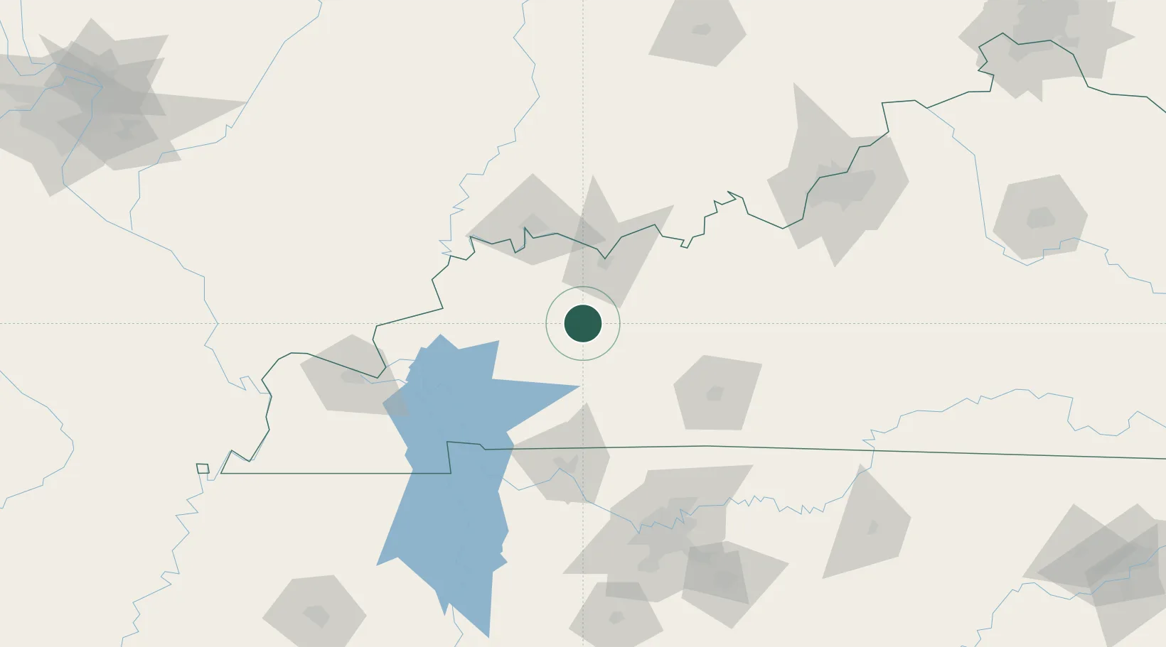
37.4000°, -87.2500°
461
Population
1
Transport functions
Transport Functions
Multimodal
Hub Profile
Place type
Populated place
Region
Kentucky
Population
461
Time zone
America/Chicago
Elevation
150 m
Location
Nearby Logistics Neighbours
Cities
- 1Hanson19 km
- 2Earlington27 km
- 3Drakesboro27 km
- 4Mortons Gap28 km
- 5Hartford31 km
Ports
- 1Port Of Memphis368 km
- 2Gary469 km
- 3Indiana Harbor475 km
- 4Calumet Harbor482 km
- 5Michigan City483 km
Airports
Trade Zones
- 1FTZ No. 177 Evansville74 km
- 2FTZ No. 294 Western Kentucky124 km
- 3FTZ No. 078 Nashville136 km
- 4FTZ No. 029 Louisville160 km
- 5FTZ No. 047 Boone County270 km
DatabookThe Record of Consolidated Knowledge
United States beyond logistics?