UN/LOCODE hub · United States
USHMC
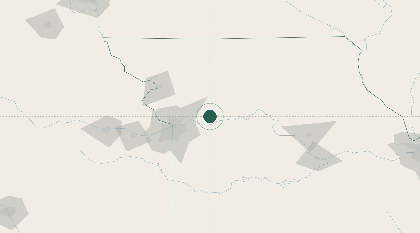
Richmond
39.2833°, -93.9833°
5,595
Population
3
Transport functions
Transport Functions
Rail
Road
Multimodal
Hub Profile
Place type
Provincial seat
Region
Missouri
Population
5,595
Time zone
America/Chicago
Elevation
251 m
Location
Nearby Logistics Neighbours
Cities
- 1Henrietta7 km
- 2Excelsior Springs28 km
- 3Odessa32 km
- 4Grain Valley35 km
- 5Liberty36 km
Ports
- 1Port Of Memphis578 km
- 2Calumet Harbor611 km
- 3Chicago612 km
- 4Indiana Harbor614 km
- 5Wilmette616 km
Airports
Trade Zones
- 1FTZ No. 017 Kansas City78 km
- 2FTZ No. 015 Kansas City93 km
- 3FTZ No. 133 Quad-Cities, Iowa Illinois222 km
- 4FTZ No. 225 Springfield243 km
- 5FTZ No. 107 Polk County267 km
DatabookThe Record of Consolidated Knowledge
United States beyond logistics?