UN/LOCODE hub · United States
USGIV
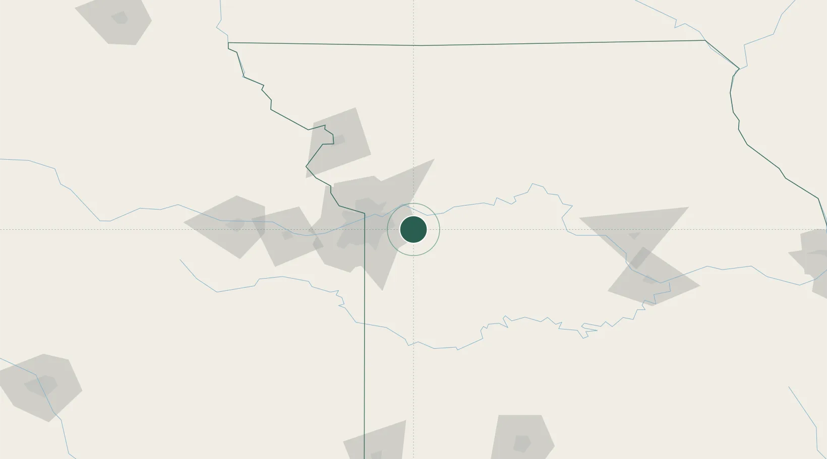
Grain Valley
39.0167°, -94.2000°
13,379
Population
3
Transport functions
Transport Functions
Rail
Road
Multimodal
Hub Profile
Place type
Populated place
Region
Missouri
Population
13,379
Time zone
America/Chicago
Elevation
242 m
Location
Nearby Logistics Neighbours
Cities
- 1Kansas City14 km
- 2Kansas City20 km
- 3Raytown22 km
- 4Odessa22 km
- 5Greenwood22 km
Ports
- 1Port Of Memphis567 km
- 2Calumet Harbor641 km
- 3Chicago643 km
- 4Indiana Harbor645 km
- 5Wilmette647 km
Airports
Trade Zones
- 1FTZ No. 017 Kansas City57 km
- 2FTZ No. 015 Kansas City64 km
- 3FTZ No. 133 Quad-Cities, Iowa Illinois221 km
- 4FTZ No. 225 Springfield222 km
- 5FTZ No. 107 Polk County298 km
DatabookThe Record of Consolidated Knowledge
United States beyond logistics?