Transport Functions
Rail
Road
Multimodal
Hub Profile
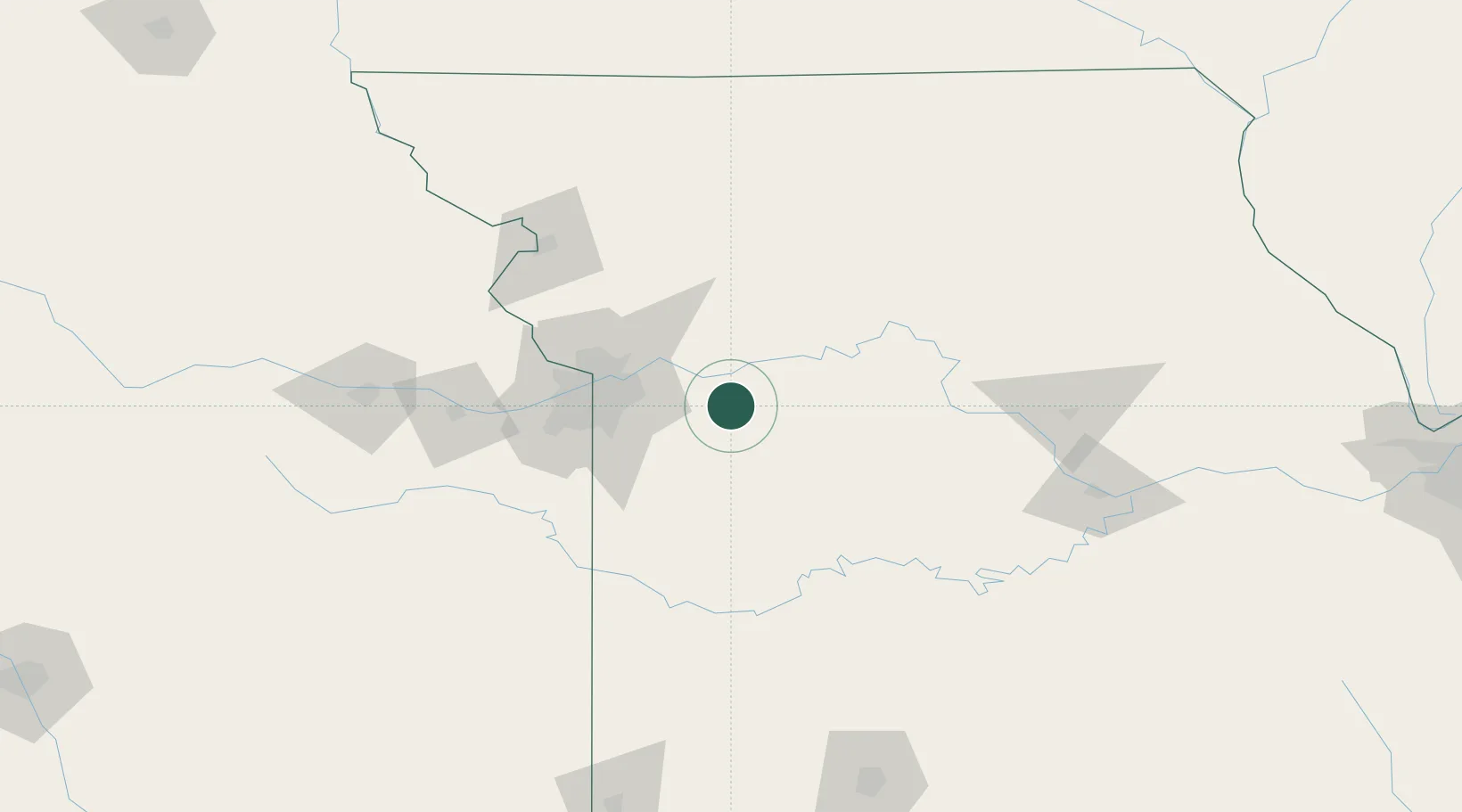
Place type
Populated place
Region
Missouri
Population
5,178
Time zone
America/Chicago
Elevation
285 m
Location
Nearby Logistics Neighbours
Cities
- 1Columbus15 km
- 2Pittsville17 km
- 3Grain Valley22 km
- 4Henrietta26 km
- 5Kingsville30 km
Ports
- 1Port Of Memphis551 km
- 2Calumet Harbor624 km
- 3Chicago626 km
- 4Indiana Harbor627 km
- 5Wilmette631 km
Airports
Trade Zones
DatabookThe Record of Consolidated Knowledge
United States beyond logistics?