UN/LOCODE hub · United States
USZEO
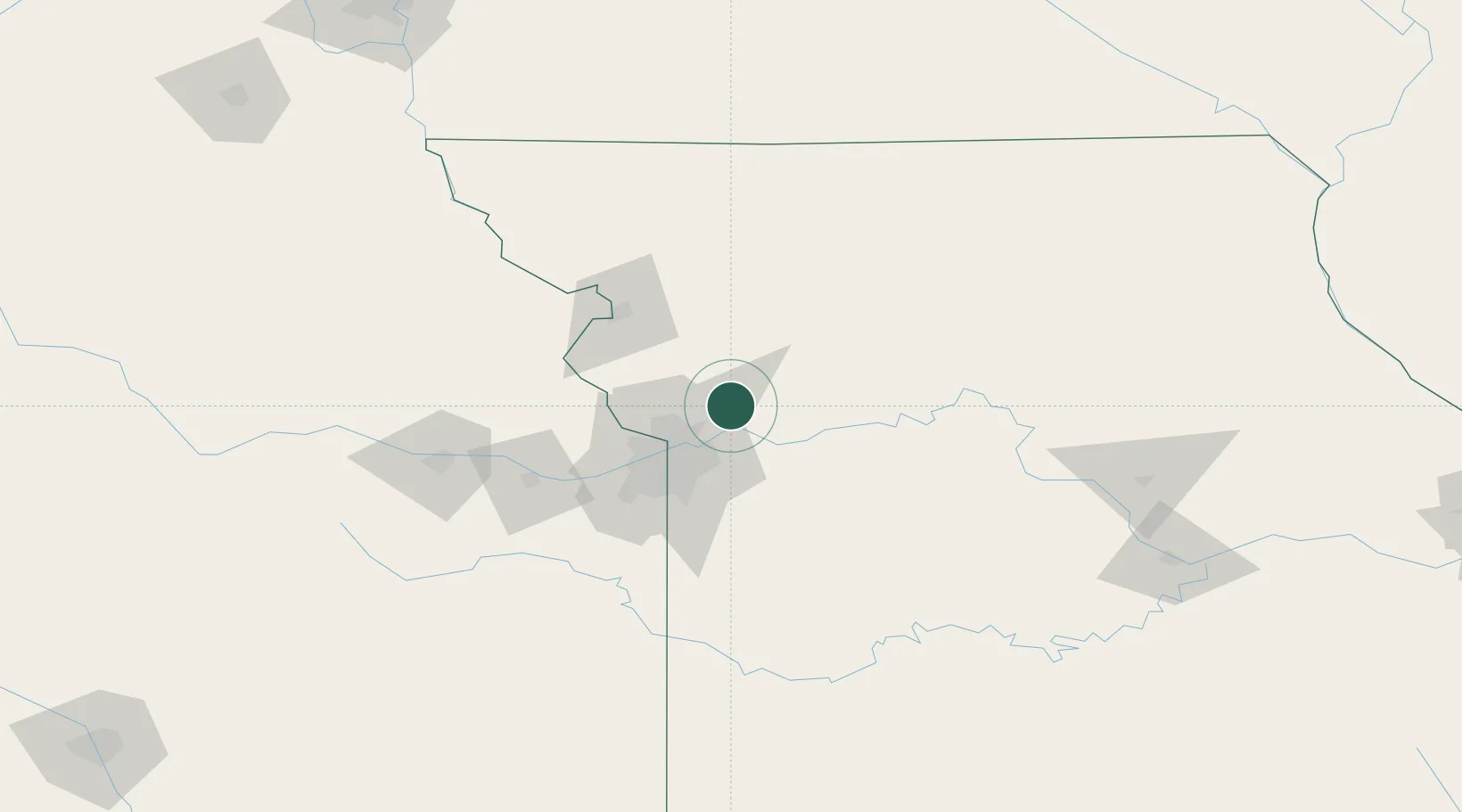
Excelsior Springs
39.3217°, -94.3084°
11,486
Population
4
Transport functions
Transport Functions
Port
Rail
Road
Multimodal
Hub Profile
Place type
Populated place
Region
Missouri
Population
11,486
Time zone
America/Chicago
Elevation
239 m
Logistics facilities
1
Location
Nearby Logistics Neighbours
Cities
- 1Liberty15 km
- 2Kansas City23 km
- 3Gladstone25 km
- 4Kansas City27 km
- 5Richmond28 km
Ports
- 1Port Of Memphis599 km
- 2Calumet Harbor633 km
- 3Chicago634 km
- 4Indiana Harbor637 km
- 5Wilmette637 km
Airports
Trade Zones
- 1FTZ No. 017 Kansas City54 km
- 2FTZ No. 015 Kansas City74 km
- 3FTZ No. 133 Quad-Cities, Iowa Illinois195 km
- 4FTZ No. 225 Springfield257 km
- 5FTZ No. 107 Polk County266 km
DatabookThe Record of Consolidated Knowledge
United States beyond logistics?