Transport Functions
Rail
Road
Hub Profile
Place type
Populated place
Region
Missouri
Population
361
Time zone
America/Chicago
Elevation
215 m
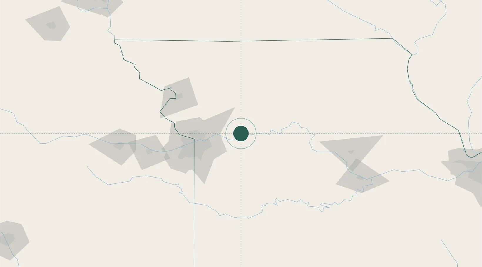
Location
Nearby Logistics Neighbours
Cities
- 1Richmond7 km
- 2Odessa26 km
- 3Grain Valley33 km
- 4Excelsior Springs34 km
- 5Kansas City38 km
Ports
- 1Port Of Memphis571 km
- 2Calumet Harbor610 km
- 3Chicago611 km
- 4Indiana Harbor613 km
- 5Wilmette615 km
Airports
Trade Zones
- 1FTZ No. 017 Kansas City81 km
- 2FTZ No. 015 Kansas City94 km
- 3FTZ No. 133 Quad-Cities, Iowa Illinois228 km
- 4FTZ No. 225 Springfield236 km
- 5FTZ No. 107 Polk County272 km
DatabookThe Record of Consolidated Knowledge
United States beyond logistics?