UN/LOCODE hub · United States
USLIB
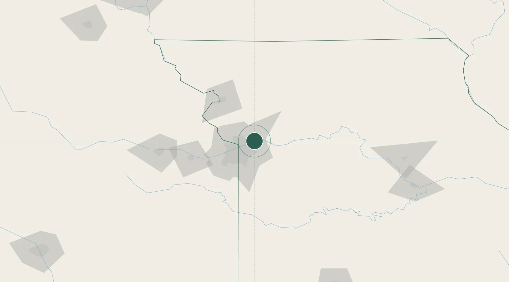
Liberty
39.2021°, -94.3913°
30,450
Population
4
Transport functions
Transport Functions
Port
Rail
Road
Multimodal
Hub Profile
Place type
Provincial seat
Region
Missouri
Population
30,450
Time zone
America/Chicago
Elevation
268 m
Logistics facilities
1
Location
Nearby Logistics Neighbours
Cities
- 1Kansas City8 km
- 2Kansas City14 km
- 3Excelsior Springs15 km
- 4Gladstone15 km
- 5Northmoor18 km
Ports
- 1Port Of Memphis593 km
- 2Calumet Harbor646 km
- 3Chicago646 km
- 4Indiana Harbor649 km
- 5Wilmette650 km
Airports
Trade Zones
- 1FTZ No. 017 Kansas City42 km
- 2FTZ No. 015 Kansas City60 km
- 3FTZ No. 133 Quad-Cities, Iowa Illinois196 km
- 4FTZ No. 225 Springfield248 km
- 5FTZ No. 059 Lincoln273 km
DatabookThe Record of Consolidated Knowledge
United States beyond logistics?