UN/LOCODE hub · United States
USJNS
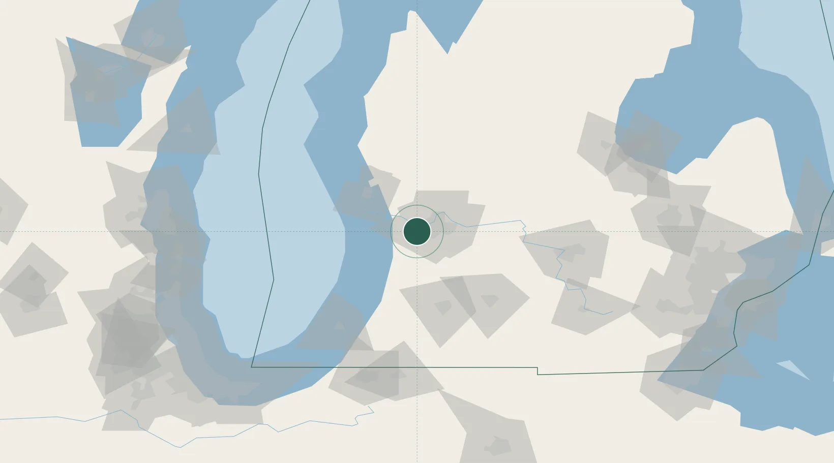
Jenison
42.9000°, -85.8167°
16,538
Population
2
Transport functions
Transport Functions
Rail
Road
Hub Profile
Place type
Populated place
Region
Michigan
Population
16,538
Time zone
America/Detroit
Elevation
184 m
Location
Nearby Logistics Neighbours
Cities
- 1Grand Rapids13 km
- 2Marne15 km
- 3Comstock Park18 km
- 4Coopersville21 km
- 5Dorr22 km
Ports
- 1Holland29 km
- 2Grand Haven39 km
- 3Muskegon52 km
- 4South Haven67 km
- 5White Lake69 km
Airports
Trade Zones
DatabookThe Record of Consolidated Knowledge
United States beyond logistics?