UN/LOCODE hub · United States
USDAL

Dallas

32.7862°, -96.8733°
1,326,087
Population
3
Transport functions

Transport Functions

Rail
Road
Airport
UN/LOCODE

Hub Profile

Place type
Provincial seat
GeoNames
Region
Texas
GeoNames
Population
1,326,087
GeoNames
Time zone
America/Chicago
GeoNames
Elevation
128 m
GeoNames
Logistics facilities
62
UN/LOCODE

Location

Location of USDAL
Natural Earth 10m (public domain) · Texas · USDAL · 32.79, -96.87GoogleOSMYandex

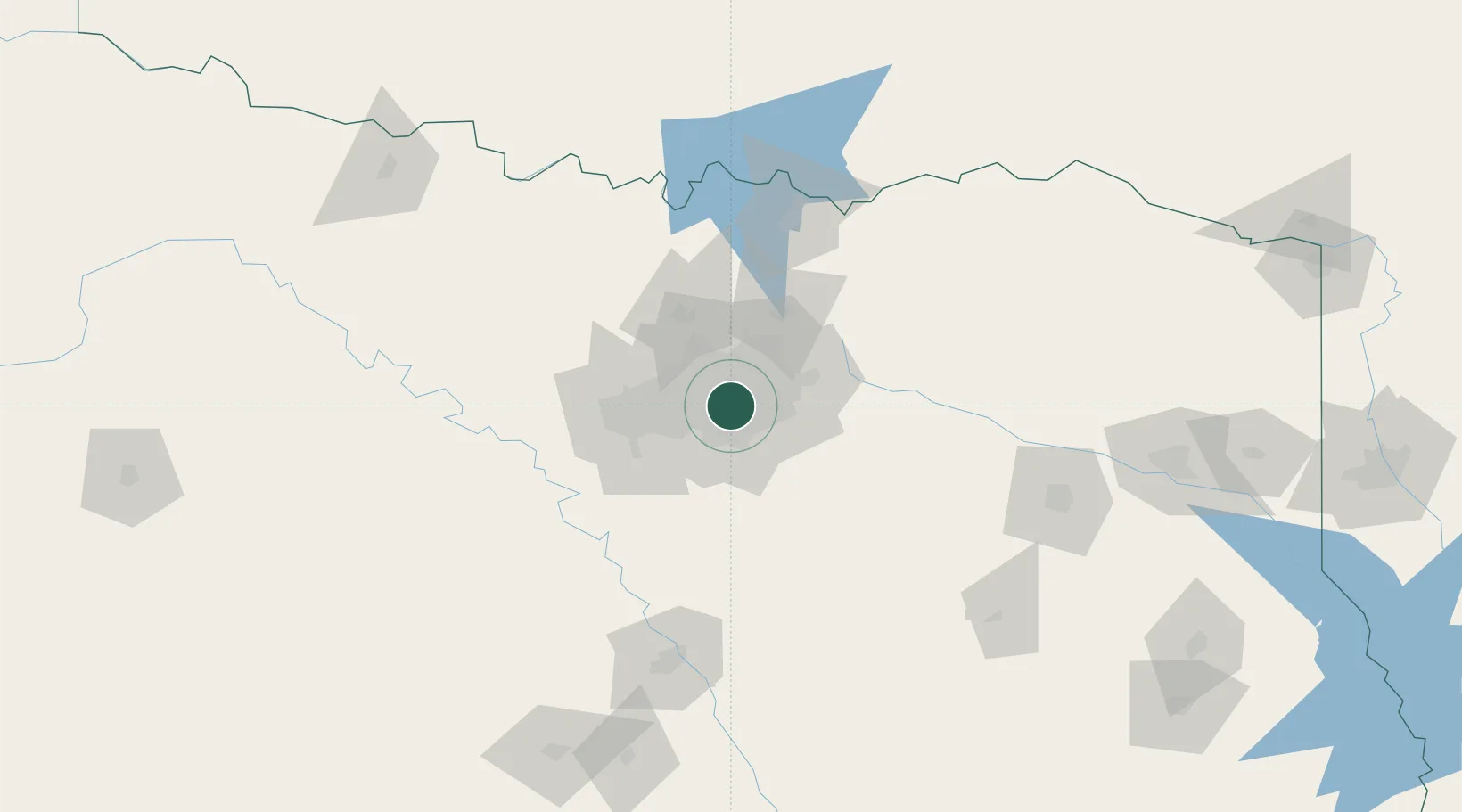
Nearby Logistics Neighbours

Cities
  1. 1Cockrell Hill6 km
  2. 2Highland, Dallas10 km
  3. 3University Park10 km
  4. 4Duncanville13 km
  5. 5De Soto23 km
Nearest neighbours — logibook spatial index (haversine) over the source coordinates
Ports
  1. 1Deer Park368 km
  2. 2Houston370 km
  3. 3Pasadena376 km
  4. 4Baytown383 km
  5. 5Beaumont401 km
Nearest neighbours — logibook spatial index (haversine) over the source coordinates
Airports
  1. 1Dallas Love Field7 km
  2. 2Dallas Fort Worth International Airport20 km
  3. 3Mid-Way Regional Airport37 km
  4. 4Fort Worth Meacham International Airport46 km
  5. 5Perot Field/Fort Worth Alliance Airport47 km
Nearest neighbours — logibook spatial index (haversine) over the source coordinates
Trade Zones
  1. 1FTZ No. 113 Ellis County56 km
  2. 2FTZ No. 168 Dallas Fort Worth61 km
  3. 3FTZ No. 196 Fort Worth65 km
  4. 4FTZ No. 269 Athens113 km
  5. 5FTZ No. 039 Dallas Fort Worth113 km
Nearest neighbours — logibook spatial index (haversine) over the source coordinates
DatabookThe Record of Consolidated Knowledge
United States beyond logistics?
Browse databook

All Sources

LocationsUN/LOCODE
UN/LOCODE — free
LocationsGeoNames
CC BY 4.0
Portsthe NGA World Port Index
Public domain (US gov)
AirportsOurAirports
Public domain
Trade Zonesthe World Bank SEZ database
CC BY 4.0
Trade ZonesOpen Zone Map
CC BY
← United States locations