Transport Functions
Multimodal
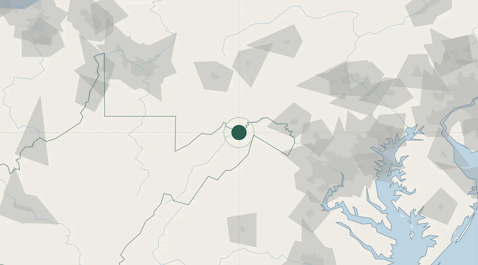
Hub Profile
Place type
Populated place
Region
West Virginia
Time zone
America/New_York
Elevation
361 m
Location
Nearby Logistics Neighbours
Cities
- 1High View32 km
- 2Gore33 km
- 3Mount Savage35 km
- 4Keyser36 km
- 5Frostburg37 km
Ports
- 1Washington D.C.148 km
- 2Alexandria151 km
- 3Fredericksburg162 km
- 4Baltimore171 km
- 5Annapolis187 km
Airports
Trade Zones
DatabookThe Record of Consolidated Knowledge
United States beyond logistics?