UN/LOCODE hub · United States
USCY2
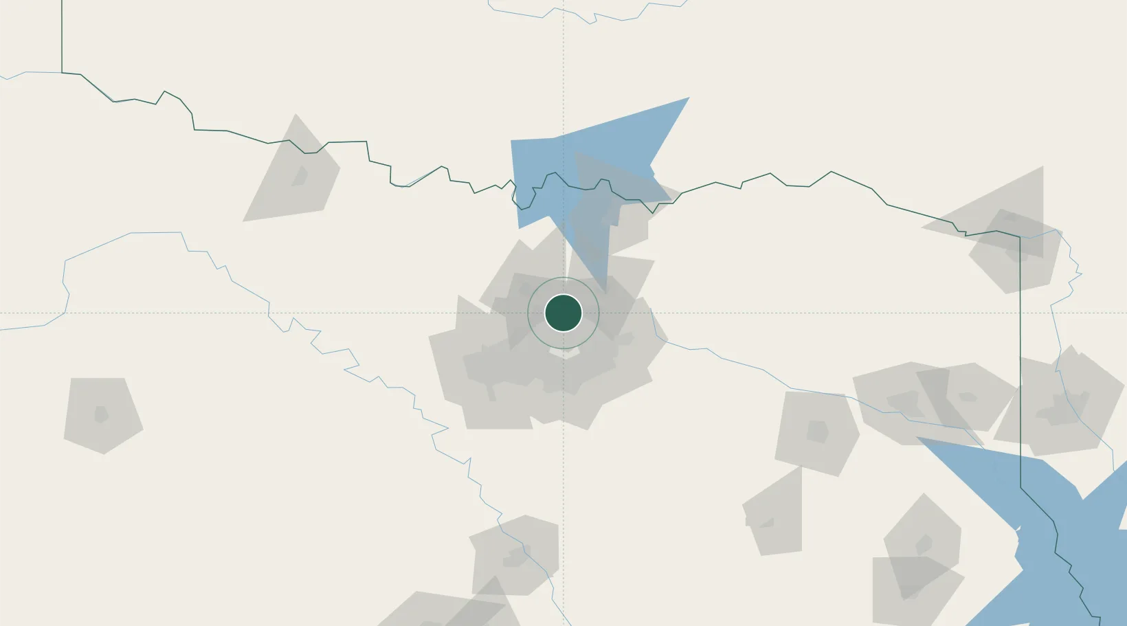
The Colony
33.0833°, -96.8833°
41,779
Population
3
Transport functions
Transport Functions
Port
Road
Multimodal
Hub Profile
Place type
Populated place
Region
Texas
Population
41,779
Time zone
America/Chicago
Elevation
180 m
Location
Nearby Logistics Neighbours
Cities
- 1Frisco10 km
- 2Lake Dallas13 km
- 3Hickory Creek15 km
- 4Flower Mound18 km
- 5Allen18 km
Airports
Trade Zones
- 1FTZ No. 168 Dallas Fort Worth71 km
- 2FTZ No. 196 Fort Worth71 km
- 3FTZ No. 113 Ellis County88 km
- 4FTZ No. 227 Durant112 km
- 5FTZ No. 039 Dallas Fort Worth119 km
DatabookThe Record of Consolidated Knowledge
United States beyond logistics?