Channel & Berth Profile
Pilotage, Tugs & Services
Pilotage compulsoryYES
Pilotage advisableNO
Local assistanceYES
Tug assistanceYES
Shore powerYES
Potable waterYES
Diesel bunkersYES
MedicalYES
Facilities & Capabilities
Container—
Ro-Ro—
Liquid bulk—
Dry bulk—
Oil terminal—
Break bulk—
Dry dock—
RepairsNO
Bunkering—
Rail link—
Dangerous cargo—
ISPS security—
Harbour Specifications
Harbour size
Very Small
Harbour type
Coastal (Natural)
Shelter
Good
Water body
North Atlantic Ocean
Tidal range
2.1 m
Pilotage
Yes
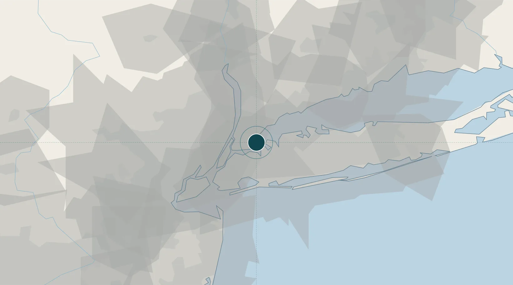
Location
Nearby Logistics Neighbours
Ports
- 1Yonkers14 km
- 2Edgewater17 km
- 3Port Chester19 km
- 4Weehawken22 km
- 5Hoboken23 km
Cities
- 1Sands Point6 km
- 2Larchmont8 km
- 3Manhasset9 km
- 4Port Washington9 km
- 5Port Morris, Bronx13 km
Airports
- 1LaGuardia Airport11 km
- 2East 34th Street Heliport20 km
- 3New York Skyports Inc Seaplane Base20 km
- 4West 30th Street Heliport22 km
- 5Teterboro Airport23 km
Trade Zones
DatabookThe Record of Consolidated Knowledge
United States beyond logistics?