UN/LOCODE hub · United States
USRV4
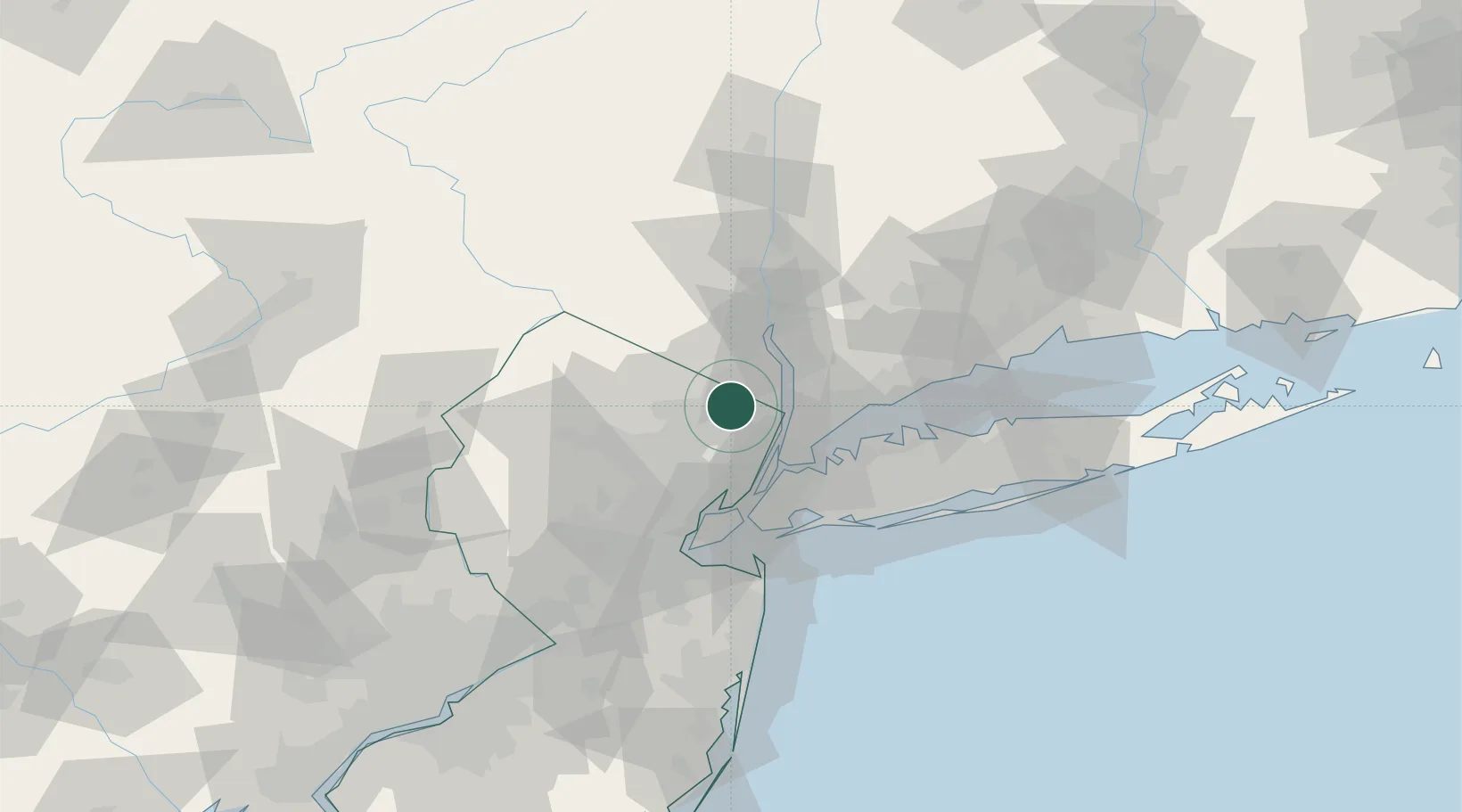
Saddle River
41.0167°, -74.1000°
3,255
Population
2
Transport functions
Transport Functions
Port
Multimodal
Hub Profile
Place type
Populated place
Region
New Jersey
Population
3,255
Time zone
America/New_York
Elevation
47 m
Location
Nearby Logistics Neighbours
Cities
- 1Ho-Ho-Kus2 km
- 2Wyckoff6 km
- 3River Edge11 km
- 4Nanuet11 km
- 5Spring Valley, Rockland12 km
Ports
- 1Yonkers19 km
- 2Edgewater24 km
- 3Weehawken29 km
- 4Hoboken31 km
- 5City Island32 km
Airports
- 1Teterboro Airport19 km
- 2West 30th Street Heliport30 km
- 3East 34th Street Heliport32 km
- 4LaGuardia Airport33 km
- 5New York Skyports Inc Seaplane Base33 km
Trade Zones
DatabookThe Record of Consolidated Knowledge
United States beyond logistics?