UN/LOCODE hub · United States
USNAE

Nanuet

41.0833°, -74.0000°
17,882
Population
3
Transport functions

Transport Functions

Rail
Road
Multimodal
UN/LOCODE

Hub Profile

Place type
Populated place
GeoNames
Region
New York
GeoNames
Population
17,882
GeoNames
Time zone
America/New_York
GeoNames
Elevation
91 m
GeoNames

Location

Location of USNAE
Natural Earth 10m (public domain) · New York · USNAE · 41.08, -74.00GoogleOSMYandex

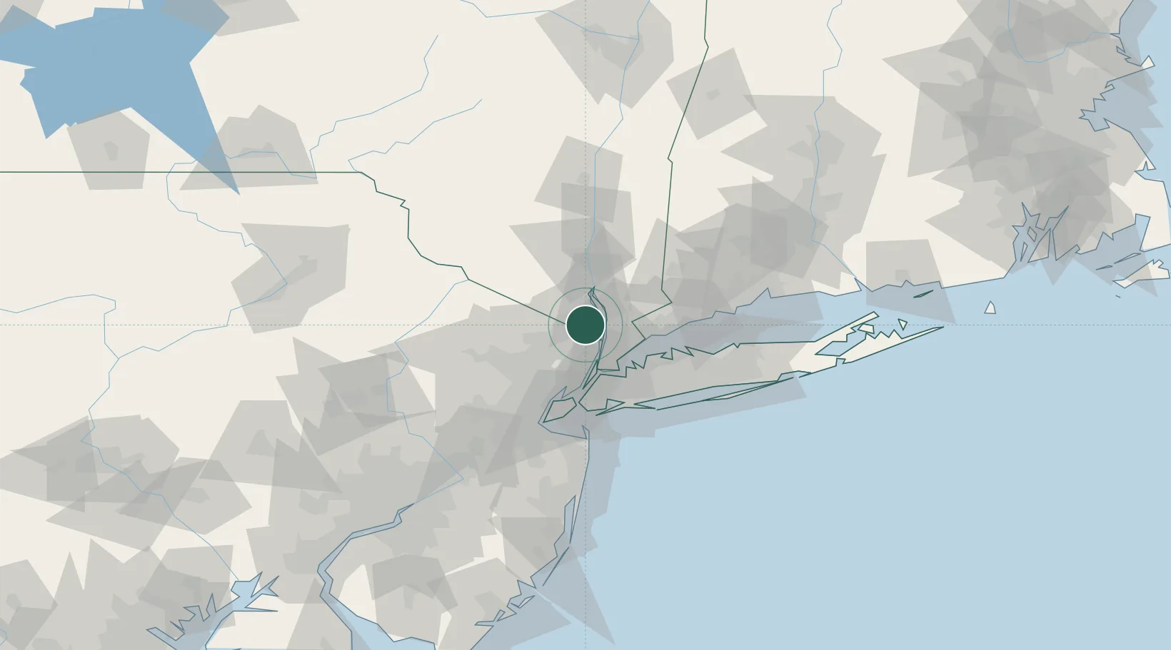
Nearby Logistics Neighbours

Cities
  1. 1Spring Valley, Rockland6 km
  2. 2Nyack7 km
  3. 3Congers9 km
  4. 4Saddle River11 km
  5. 5Sleepy Hollow Manor11 km
Nearest neighbours — logibook spatial index (haversine) over the source coordinates
Ports
  1. 1Yonkers19 km
  2. 2Port Chester30 km
  3. 3Edgewater30 km
  4. 4City Island32 km
  5. 5Greenwich33 km
Nearest neighbours — logibook spatial index (haversine) over the source coordinates
Airports
  1. 1Westchester County Airport25 km
  2. 2Teterboro Airport26 km
  3. 3LaGuardia Airport36 km
  4. 4West 30th Street Heliport37 km
  5. 5East 34th Street Heliport38 km
Nearest neighbours — logibook spatial index (haversine) over the source coordinates
Trade Zones
  1. 1FTZ No. 001 New York City42 km
  2. 2FTZ No. 049 Newark Elizabeth46 km
  3. 3FTZ No. 076 Bridgeport69 km
  4. 4FTZ No. 052 Suffolk County70 km
  5. 5FTZ No. 044 Morris County76 km
Nearest neighbours — logibook spatial index (haversine) over the source coordinates
DatabookThe Record of Consolidated Knowledge
United States beyond logistics?
Browse databook

All Sources

LocationsUN/LOCODE
UN/LOCODE — free
LocationsGeoNames
CC BY 4.0
Portsthe NGA World Port Index
Public domain (US gov)
AirportsOurAirports
Public domain
Trade Zonesthe World Bank SEZ database
CC BY 4.0
Trade ZonesOpen Zone Map
CC BY
← United States locations